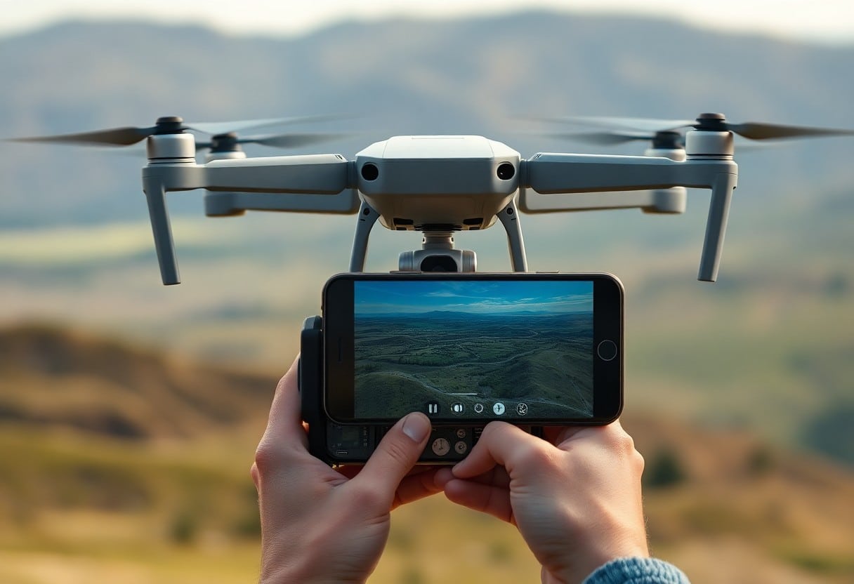
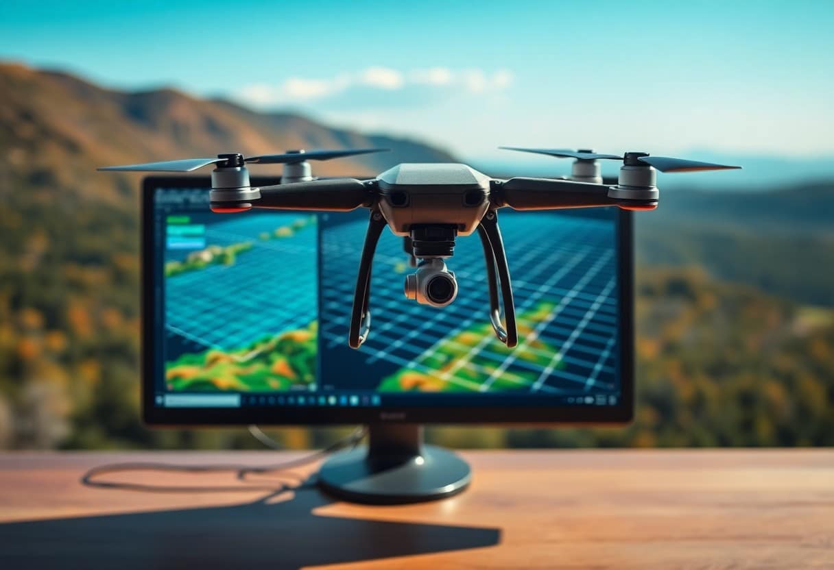
How do scale constraints affect the quality of drone mapping?
In Unmanned Aerial Vehicle (UAV) Mapping.Proportionality limitsThis has a significant impact on image quality and map accuracy. When you are collecting terrain for your drone, choosing the right scale is important for capturing details and accurately representing environmental features. If the scale is too large, important information may be missed; if it is too small, the image may be distorted. Understanding these limitations can help you make better choices in drone mapping, thus improving the quality and reliability of the final product.
Key Points:
- Size limitationsThis affects the resolution of UAV maps, making it difficult to recognize features.
- Data CoverageLimiting the scope of available information has resulted in some areas not being adequately mapped.
- Flying HeightDirectly affecting image quality, a lower flight altitude improves detail definition.
- Meteorological conditionsWhen the scale is large, it can affect the visual effect and the quality of the data during the shooting process.
- Topographic changeswill result in different mapping effects, affecting the ability of the UAV to be applied in complex terrain.
- Time EfficiencyRelated to size, larger areas usually require longer flight times and post-processing times.
- Technical LimitationsFor example, sensor performance can also have an impact on map quality, especially when measuring over large areas.
Understanding proportionality limits
In UAV mapping, understanding scale constraints is a key factor in ensuring you get high quality data. Scale constraints refer to geometric relationships that affect the accuracy of images and features during the mapping process. These constraints not only affect the accuracy of the measurement, but also the resolution of the image and the overall quality of the mapping.
Definition of Proportionality Limit
Scale limitation is the relationship between the size of an image and the distance it represents in the real world in drone surveying. In short, it determines whether the image you take is an accurate representation of the area being surveyed. This affects your definition of features and how accurately they are represented on the map.
Types of Scale Limitations in Drone Mapping
In drone mapping, you may face a variety of scale constraints. These limitations include, but are not limited to, the resolution of the image, the height of the shot, and variations in surface features. They directly affect the accuracy of the mapping data and the validity of subsequent analysis.
| Restriction Type | Impact |
| image resolution | Impact Detail Capture |
| Shooting Height | Impact on Wide Area Coverage |
| Physical Features | Impact Recognition |
| Camera Settings | Impact on image quality |
| Environmental Factors | Impact on data stability |
The types of scale constraints mentioned above play an important role in drone mapping because they determine how well you understand the terrain and how deeply you can analyze the data. For example, low-resolution images may result in unclear feature boundaries, which may affect subsequent analysis results. RecognitionThese limitations, when managed, can help improve your mapping accuracy and data reliability.
- Solutions: Adjusts recording parameters to improve image quality.
- Programs: When the weather is good.
- Instrument Selection: Use of high-performance drone and camera equipment.
- Environmental Analysis: Evaluate the effect of topography on the data.
- Continuous Learning: Keep up to date with new technologies and methods.
| be tactful | goal |
| In-depth inspection | Ensure data accuracy |
| Data Repeat | Enhanced screen clarity |
| Using a dual-lens camera | Improved Image Capture |
| Post-processing | Optimize data integrity |
| Regular Maintenance | Ensure proper functioning of equipment |
Impact of Scaling on Data Quality
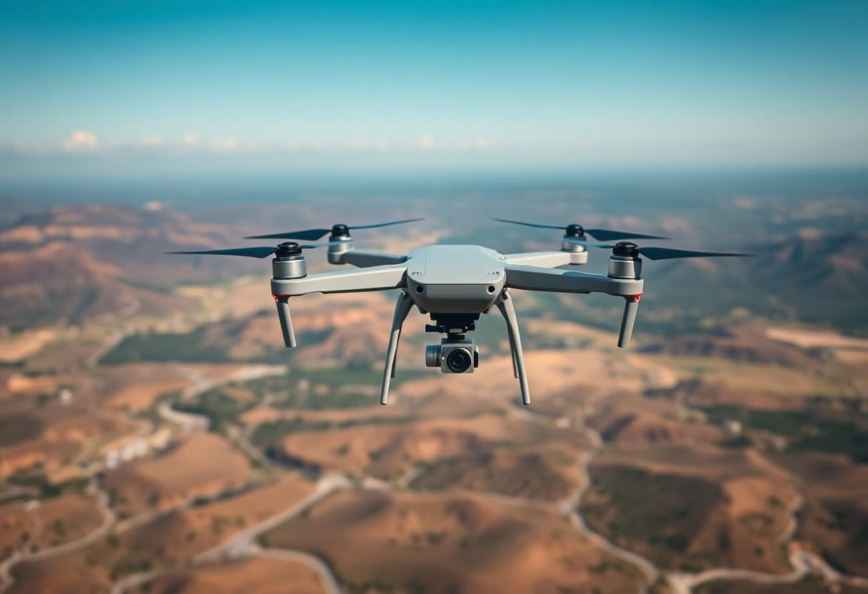
It is important to understand the impact of scaling on the quality of UAV mapping data. When you choose a different scale, the level of detail and accuracy of the data will vary, which may affect the results of your subsequent analysis. The right scale can improve the recognizability of terrain details and features, while the opposite can lead to the loss or misinterpretation of important information.
Spatial Resolution and Detail
Spatial resolution directly affects the level of detail you can obtain. When you use high-resolution imagery, you can observe more detailed surface features, which is especially important for detailed analysis and planning. Without adequate resolution, you may not be able to recognize critical terrain changes or environmental features, which can affect the quality of your decisions.
Geographic Context and Scale Change
Consideration of geographic context is an important factor when conducting drone mapping. Different areas may require different scales to obtain the most accurate data results. You should evaluate how the specific geographic context affects the choice of scale to ensure that the data obtained meets the actual needs.
When choosing a ratio, you need to pay special attention toDifference in geographic contextFor example, in urban environments, detailed features may be more plentiful than in open areas. For example, in an urban environment, detailed features may be richer than in an open area, which means you may need to use theHigher percentageto capture critical information. In addition, certain areas may require different scale settings depending on the type of terrain or land use to ensure that your mapped data can effectively support the analysis. When developing a mapping plan, theTake full account of these changesIt will help you improve data quality and achieve more accurate analysis results.
Technical Challenges in Drone Mapping
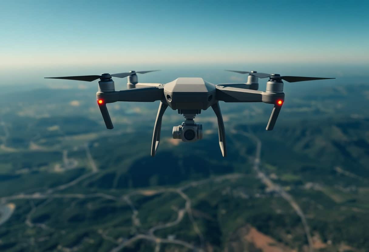
In the process of drone mapping, you may encounter a variety of technical challenges. These challenges not only affect the efficiency of mapping, but also directly affect the quality of the final data. Therefore, understanding these challenges will help you better plan your drone missions to improve the accuracy and reliability of your mapping results.
Sensor Limit
The drone's sensors are a critical component that affects your mapping results. Different types of sensors have their own performance limitations, such as resolution, accuracy, and effective range. You need to evaluate these limitations to ensure that the data collected meets the specific needs of your application.
Data Processing Limitations
In drone mapping, your data processing power and algorithm efficiency will affect the quality of the results. The processing of very large data volumes requires powerful computational resources, which may result in time delays or resource exhaustion. It is important to choose the right data processing method for your specific needs in order to achieve the best mapping results.
Data Processing LimitationsIt's a challenge that can't be ignored in mapping. When you use a drone to collect large amounts of data, theInsufficient Calculation Resourcesor inefficient processing algorithms will result in delayed data processing and inaccurate results. In addition, if the data formats are incompatible, additional conversion steps will be added, further affecting the smoothness of the workflow. To optimize this process, you can explore different data processing platforms and methods, and stay on top of the latest technological developments to keep mapping efficient and accurate.
Case study: proportionality impact
In the case studies of Unmanned Aerial Vehicle (UAV) mapping, the effect of scale is significant. The following are some specific case studies:
- Case 1: A city's High Resolution Images Collected at a scale of 1:500, the results show an increase in image clarity. 20%The
- Case 2: Successful extraction using the ratio 1:1000 in agricultural monitoring Crop Health Status information, with an impact area of 1000 hectaresThe
- Case 3: a district Environmental MonitoringThe ratio is 1:2500 and can be identified. Specific Sources of PollutionAccuracy increased 15%The
Through these examples, you can clearly see the impact of different scales on the quality of drone drawings. For details, please refer toSimplified Aerospace 3D Reconstruction - 4 Steps to a Perfect ModelThe
Comparison of different ratios
Comparison of ratios
| proportions | Quality Impact |
|---|---|
| 1:500 | Significant improvement in clarity |
| 1:1000 | Detailed information can be extracted |
| 1:2500 | Suitable for extensive monitoring |
Lessons Learned from Drone Mapping Projects
There are many important lessons you can learn from various drone mapping projects. Choose the right ratioThis will directly affect the accuracy and detail of the drawing. Further, professional image processing techniques are also critical to ensure the quality of the data. As the project is implemented, progress needs to be continually evaluated. so that strategies can be adjusted in a timely mannerThe
The most important thing is to get a deeper understanding of the differences from each program. Environment and Requirements The impact on scale selection will help you make more informed decisions on future drone mapping projects. Through this learning, you will be able to ensure that the drone is utilized to its best advantage.
Practice of Optimal Reduction of Ratio Limits
To improve the accuracy of your drone mapping, there are several best practices you can adopt to mitigate the effects of scale limitations. For example, utilize theHow to practice basic drone controls for better flight performance?The proper use of scales and reference marks can effectively improve the accuracy and reliability of maps. Maintaining consistent flight altitude and camera parameters helps to ensure the quality of the data.
Planning for drone flight operations
Prior to a drone mission, you need to carefully plan your flight path to ensure the optimal configuration of coverage areas and camera angles. Effective planning helps minimize image overlap, which in turn reduces scale bias and ensures accurate data. Consideration of meteorological factors such as wind and visibility are also important factors in successful flight.
Enhanced Data Collection Technology
To enhance the effectiveness of your data collection, you can use higher quality image sensors and precise positioning systems. Emphasis on in-flight useHow to achieve movie quality through effective drone filming techniques?This not only improves the resolution of the image, but also ensures that the data is always consistent at different scales. Choosing the right calculation method, combined with milestones and ground control points, can effectively improve the accuracy and reliability of the overall map. Making full use of modern software tools for image processing and analysis is a key step in improving mapping quality.
Future Trends in Drone Mapping
The future of drone mapping will be characterized by new changes as technology advances. You can learn how these changes will affect the quality and efficiency of mapping through the study of large-scale drone trajectory planning and analysis. With the development of highly automated and intelligent robots, expanding the scope and application of mapping will become a trend, and you need to pay close attention to these emerging technologies.
Technological Advancement
As drone technology continues to advance, you will be able to obtain higher resolution images and data. The introduction and integration of new sensors will dramatically improve mapping accuracy, meaning your projects will have more detailed and accurate information, improving the overall quality of your decisions.
Impact of Scale Management
An effective scale management strategy will have a profound impact on the future of drone mapping. You need to ensure that you strike a reasonable balance between the scope of your mapping and the quality of your data, and avoid any noise or degradation of data quality as a result of increased scale. Developing appropriate monitoring and adjustment mechanisms will be key in this process.
When managing scale, you should pay special attention toExpansion of the scale of the mapping missionHow it may affect data accuracy and validity. As the scope of your project expands, the complexity of data processing and analysis will increase, which may lead toData Lossor unstable quality. It is therefore important that you have a clear strategy in place to minimize these risks and ensure that the reliability of your data is not compromised as you pursue your broader mapping needs.
How do size constraints affect the quality of drone mapping?
Understanding the impact of scale constraints on the quality of drone mapping is critical to your work. When you're mapping, the right scale ensures that the data you get is accurate and detailed enough. If your mapping area is too large, it may result in reduced resolution, while too small an area may not fully capture the information you need. Therefore, setting the right scale for your specific project needs will have a direct impact on the quality of the end result, ensuring you get reliable mapping data.
Frequently Asked Questions
Q: What is the scale limit in drone mapping?
A: Scale limitation in drone mapping refers to the scale limitation caused by factors such as flight altitude, camera resolution and shooting range when using a drone for terrain photography and data collection, which will affect the quality and accuracy of the final image obtained.
Q: How do scale constraints affect the resolution of drone images?
A: When the scale limit is too large, the resolution of the images taken by the drone will be reduced and may not be able to capture subtle terrain features, making the accuracy of post-processing and analysis compromised.
Q: What is the relationship between calibration and scale limits in drone mapping?
A: Calibration is the process of ensuring that the drone's sensors and camera equipment work correctly. If the calibration is not done properly, there will be errors in the data obtained even within the ideal scale limits, so the two are closely related.
Q: What is the minimum coverage ratio for drone mapping?
A: The minimum coverage ratio for drone mapping refers to the degree of overlap between neighboring images during the shooting process. A proper coverage ratio can improve the quality of the final 3D model. If the coverage ratio is insufficient due to the ratio limitation, it will affect the accuracy of the overall mapping.
Q: How can I adjust scale limits in drone mapping to improve image quality?
A: Scale limits can be adjusted by lowering the flight altitude, increasing the camera resolution, or increasing the shot overlap. These adjustments will help to achieve sharper and higher resolution images, which in turn will improve overall image quality.
Q: Will the ratio restriction affect the subsequent data processing and analysis?
A: Yes, scale limitations have a direct impact on data processing and analysis. If the image quality is insufficient, the accuracy and reliability of the subsequently generated terrain models and GIS products will also be significantly reduced.
Q: In drone mapping, are there any other factors that also affect image quality?
A: In addition to scale limitations, factors such as lighting conditions, weather conditions, stability of the drone, and the angle at which the image is taken will also affect the quality of the image. These factors need to be taken into consideration when planning the flight in order to get the best mapping results.
