Simplified Aerospace 3D Reconstruction - 4 Steps to a Perfect Model
In today's technological age.Aerial 3D reconstructionIt has become an important tool for many industries. Have you ever wondered how easy it is to create the perfect 3D model? This article will guide you throughFour simple stepsThe Aerial 3D Reconstruction Tips for the Aerial 3D Reconstruction Program is designed to help you perform aerial 3D reconstruction quickly and efficiently. Whether you're a beginner or a professional, these tips will help you improve your skills and avoid common pitfalls, making your job easier and more efficient.
Key Points:
- Data Collection: Ensure that high quality aerial images are used to capture sharp details.
- Image Processing: Use suitable software for image segmentation and correction to ensure data consistency.
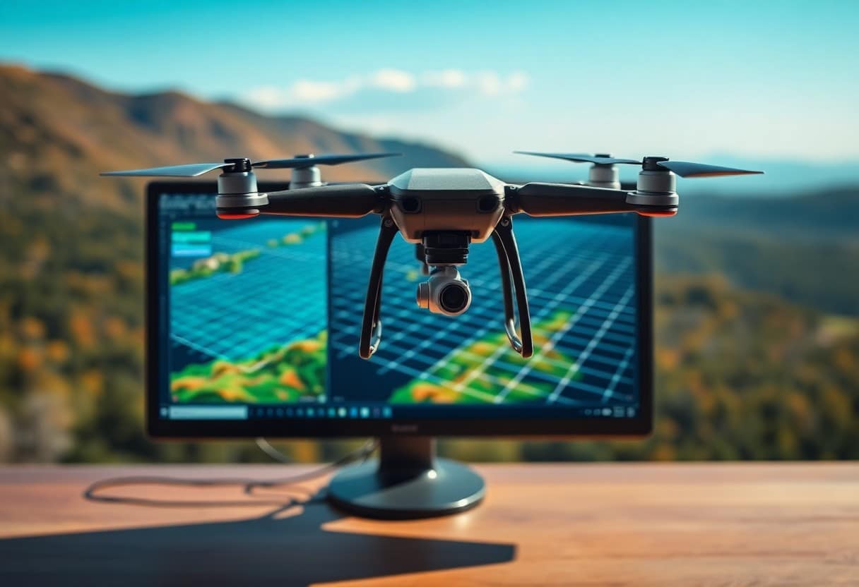
- Point cloud generation: Algorithms are used to convert the images into a three-dimensional point cloud, which provides the basis for subsequent reconstruction.
- Grid Reconstruction: Utilize point clouds to generate mesh models to further increase model integrity.
- texture mapping: Attach image data to the model to make the 3D model look more realistic.
- Verification Models: Perform model checking and accuracy verification to ensure that the desired results are achieved.
- Application Scenarios: Understand the application of 3D reconstruction techniques in various industries such as construction, land surveying, etc.
Understanding Aerospace 3D Reconstruction
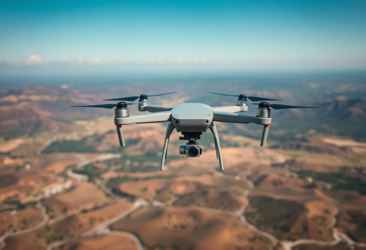
Aerial 3D Reconstruction is a technique designed to generate highly accurate three-dimensional models from images taken from the air. You can utilize a drone or aircraft to capture data at different angles and altitudes, and synthesize this data to get a clear 3D structure for applications such as urban planning, architecture and terrain surveying.
Aerospace 3D Modeling Overview
Aerial 3D models are three-dimensional data structures reconstructed using multiple aerial images. You will find that these models not only have the visual effect of the real environment, but also provide precise geographic information to help you make detailed analysis and decisions.
Key Technologies and Tools
In aerospace 3D reconstruction, the techniques and tools used are extremely critical. You need to familiarize yourself withVideo Capture Technology,Structured Light Reconstruction,Software Processingetc. These will help you to better generate high quality models.
And among these key technologiesVideo Capture Technologyis the first and foremost thing that you have to choose the right photography equipment for the shoot. In addition, theStructured Light ReconstructionThe technique utilizes light sources and receivers to generate depth information, which increases the accuracy of the model. Finally, select the appropriateSoftware Processing ToolsThe software, such as Photogrammetry, will help you integrate your images into a 3D model. These techniques and tools are key to ensuring your success in the aerial 3D reconstruction process!
Step 1: Plan Your Aerial Survey
Before starting an aerial survey, you need to plan thoroughly to ensure that you collect high quality data and images. First, you should determine the scope of the survey and its purpose, which will have a direct impact on all the steps you take, including equipment selection and data processing.
Identify Objectives
Clearly defining your survey goals is the key to success. Ask yourself: What kind of information do you want? Is it for land planning, building inspections, or natural resource management? These goals will help you develop a more targeted program.
Choosing the right equipment
Choosing the right equipment for your survey goals is critical. Ensure that your equipment meets the required resolution and coverage areasThe final model is designed with mobility and ease of operation in mind. This includes drones, cameras and related shooting accessories, each of which affects the accuracy of the final model.
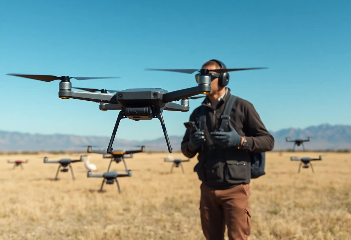
In addition.Invest in high quality drones and camerasThe quality of your data can be dramatically improved. There are a number of key factors to consider, such as flight time, stability and transmission distance. If you expect to operate in complex or high-risk environments, choosing equipment with powerful features is essential to ensure that your survey process is both safe and efficient.
Step 2: Data Acquisition
Data acquisition is a critical step when performing 3D reconstruction. You need high-quality image data to generate an accurate model. Make sure you use professional equipment for the photography. Understanding the different data acquisition techniques is critical to improving the accuracy of your model. To learn more aboutHow to practice basic drone controls for better flight performance?The literature can be further explored.
Best Flight Path
Developing an optimal flight path will ensure that you capture complete and clear images. You should plan for proper altitude and direction, and take into account the characteristics of the shooting area to maximize coverage and minimize image overlap.
Capture Technology
Choosing a drone for photography allows you to utilize its flexibility to acquire data in hard-to-reach areas.Moreover, it is crucial to maintain a stable heading and speed, which will affect the clarity of the final model.
In terms of capture techniques, in addition to using drones, you can also consider handheld devices or fixed cameras. Using different lenses and camera angles can effectively enhance the details of your model. Keeping the camera steady during the shooting process will minimize the risk of blurring the image.Also, make sure there is enough light and avoid shooting in low light conditions, as this will enhance the quality of the image.Capturing every detail will have a significant impact on the subsequent redevelopment process.
Step 3: Data Processing
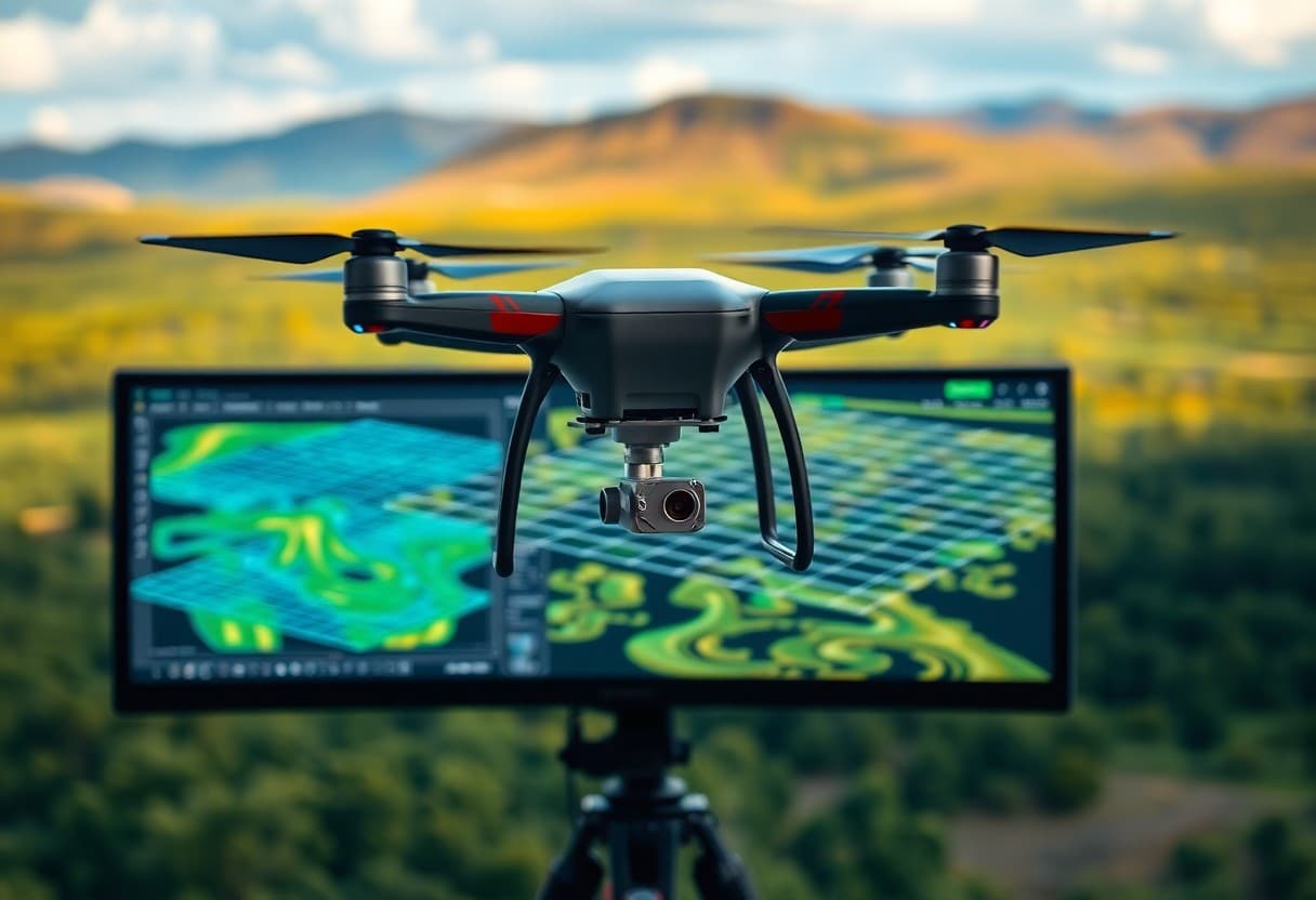
In the data processing stage, you need to convert the raw data obtained from the flight mission into a usable 3D model. It is important to choose the right tools and algorithms, as this can significantly affect the quality of the final model. In this step, it is important to understandHow to achieve movie quality through effective drone filming techniques?Very helpful in achieving optimal results.
Software Options
In data processing, choosing the right software is crucial for generating accurate 3D models. There are many choices on the market, such as Pix4D, Agisoft Metashape and DroneDeploy, so you can choose the right software according to your needs.
Post-processing Technology
Post-processing techniques help enhance the detail and accuracy of your models. You can apply filtering, trimming, and high-quality texture mapping techniques to make your results more realistic.
In post-processing, it is important to note that Adjustment of model details, such as proper texture and color correction, which not only enhances the visual effect but also improves the usability of the model. In addition.Using noise filtering and data reconstruction techniques Improves modeling results and ensures that the final output meets professional standards. Be careful to avoid over-editing, which may affect the accuracy of the model's original data.
Step 4: Model Optimization
After completing the initial modeling, you need to perform model optimization to improve its quality and usability. This process includesMinor adjustmentsmodels to eliminate unnecessary details, reduce the number of polygons, and ensure the smoothness and efficiency of the models in different applications. The ultimate goal is to create high quality, efficient 3D models.
Enhancement of visual quality
It is important to enhance the visual quality of your model, and this can be done with proper texture mapping and lighting effects. You can use theHigh resolution textureThis makes the model look more realistic in a virtual environment. This not only helps to attract the attention of the audience, but also enhances the professionalism of your model.
Ensuring Accuracy
Ensuring model accuracy is an essential part of the optimization process. To do this, you need to perform an accuracy check and analyze the model in detail. This prevents errors in the final product and ensures that the model accurately reflects the shape and dimensions of the actual object.
To ensure accuracy, you should consider using theReferencesThe modeling process is based on a number of parameters, such as blueprints or physical measurements, which are used as a baseline for the model. Multiple checks are made to confirm that all parameters meet the required specifications. At the same time, comparing the model with the real thing will allow you to find errors and correct them in time. This will significantly increase the overall value and reliability of your final product.
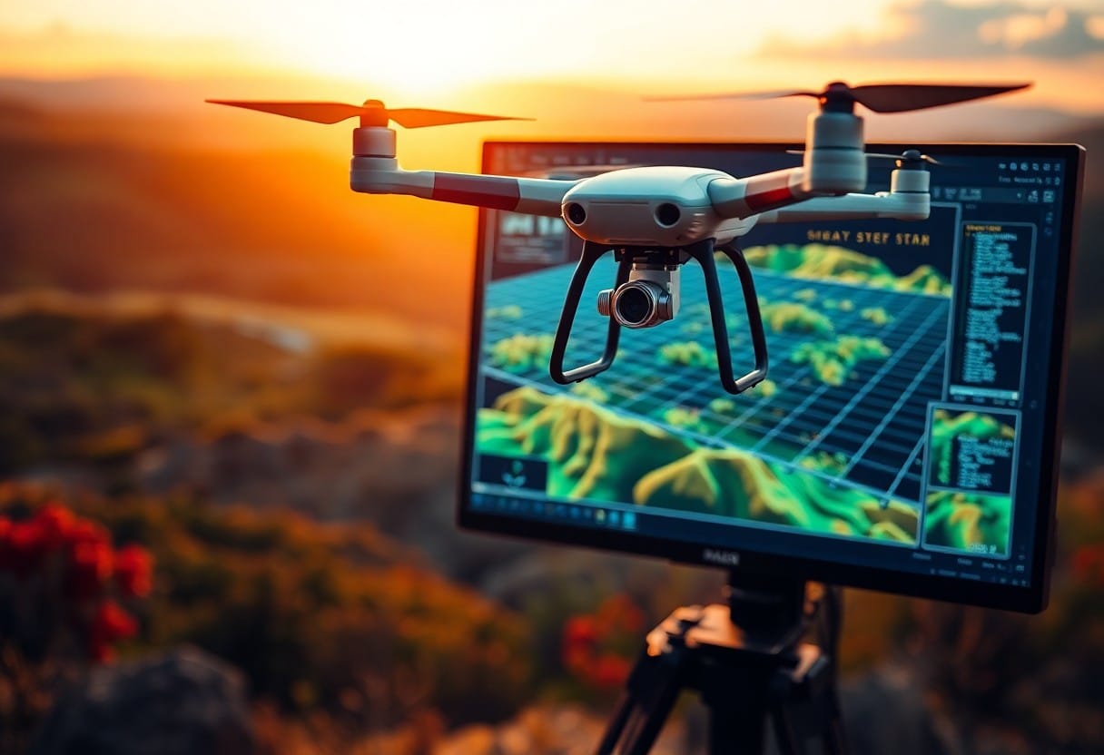
Application of aerial 3D modeling
Aerial 3D models play an important role in a variety of industries, from urban planning to disaster reconstruction, these models provide a digital representation of the real world, allowing you to better analyze and understand environmental changes. For more information on how to simplify these models, you may refer to this articleFly a Drone with Confidence - 6 Steps for BeginnersThe
Industries using 3D models
Many industries are beginning to utilize aerial 3D modeling to improve efficiency, includingArchitecture,Environmental Monitoringas well asGeological Surveyetc. These industries are able to plan and evaluate more accurately through 3D modeling, thus effectively reducing costs and risks.
Case Studies and Examples
Below are some case studies of successful applications of aerial 3D modeling, demonstrating its potential and value in many areas:
- Building Projects: A major construction company used 3D models for design and construction simulation, which saved30%The time of the day.
- Environmental Monitoring: Government agencies use 3D models to monitor deforestation, enabling timely detection and response.80%of illegal logging behavior.
- Post-Disaster Assessment: After a natural disaster, rescue teams rely on 3D modeling to quickly assess the damage, shortening the time it takes for48%The time for disaster relief.
These examples demonstrate the importance of aerial 3D modeling in modern technology, especially when faced with increasingly complex challenges. Implementing this technology not only increases your productivity, but also reduces the number of accidents.
and improve the accuracy of decision making.
Simplified Aerial 3D Reconstruction - Four Steps to the Perfect Model
By following these four simple steps, you can turn aerial images into high-quality 3D models. First, ensure the quality of the captured data, followed by image processing and alignment using professional software. Then, generate a point cloud and reconstruct the model, and finally, refine and optimize the details of the model. These steps not only enhance your modeling skills, but also create stunning results in real-world applications.
Frequently Asked Questions (FAQ)
Q: What is aerial 3D reconstruction?
A: Aerial 3D reconstruction is a method of collecting images through aerial photography (e.g., drones) and processing these images into 3D models using specialized software. The process involves several steps, including image acquisition, feature point matching, dense point cloud generation and final model construction.
Q: Why do I need an aerial 3D reconstruction?
A: Aerial 3D reconstruction can be used in many fields, such as map making, building inspection, archaeological excavation, and environmental monitoring. It provides detailed and accurate 3D information to help you be more efficient in your design and decision-making process.
Q: What exactly are the steps in this four-step process?
A: A simplified aerial 3D reconstruction process consists of four main steps: one is image acquisition, the second is feature matching and camera positioning, the third is generating a dense point cloud, and the fourth is constructing a 3D model. These steps are interconnected to complete the transfer of information to each other.
Q: What tools are available for aerial 3D reconstruction?
A: There are many software programs available on the market, including Pix4D, Agisoft Metashape, and DroneDeploy. Each of these tools has its own unique features for processing aerial images and generating models for different needs.
Q: What kind of technical background is required to perform aerial 3D reconstruction?
A: While some specialized knowledge is helpful, most image processing software is designed to be relatively intuitive and easy to use for the average user. A basic knowledge of photography and some 3D modeling concepts would be helpful.
Q: How accurate are aerial 3D reconstructions?
A: Accuracy depends on a number of factors, including image quality, camera angle and reconstruction algorithm. Good shooting techniques and high quality image data usually improve the accuracy of the model, and regular quality checks are also necessary.
Q: How can I use the 3D model after I finish it?
A: The completed 3D models can be used for a variety of applications, such as virtual reality (VR) presentations, simulation of the construction process, testing of design solutions, and objective requirements analysis. These models are also suitable for integration with other specialized software to provide more comprehensive analysis and planning.
