What is the role of motion recovery structures in drone 3D modeling?
In today's digital world.Structure from Motion (SfM)The importance of technology in drone 3D modeling cannot be overlooked. This technology allows you to convert flat data into three-dimensional models by capturing images from multiple angles. You can use this technology to create accurate topographic maps and object models, which are of great importance for many applications such as urban planning, archaeology or environmental monitoring. Whether it's improving data accuracy or speeding up the modeling process, SfM gives you powerful tools to achieve your goals.
Summary of key points:
- Structure from Movement (SfM)It is a technique used to generate 3D models that rely heavily on capturing multiple images to reconstruct a scene.
- With SfM, drones are able to automate the process ofData Collection, dramatically improving modeling efficiency.
- SfM technology eliminates the need forProfessional Photography EquipmentThe camera can be used to obtain high quality results even with a normal camera.
- This technology is capable of handlingTopography of a large areaIt is suitable for applications such as geographic mapping and archaeological research.
- SfM combined with a drone can provide high-resolutionAerial viewThe details of the terrain are accurately captured.
- When using SfM, it is important to note thatPhoto overlap rateThis is to ensure better 3D reconstruction results.
- SfM can be integrated with other technologies such asLaser ScanningThe combination improves the accuracy and detail of the modeling.
Drone 3D Modeling Overview
Drone 3D modeling technology combines advanced computational methods and flight platforms to create accurate three-dimensional models. This technology helps you collect data from the air and convert it into visualized 3D images that can be used in a variety of areas such as monitoring, planning and design. Whether you're an architect, engineer, or agricultural specialist, drone technology greatly enhances the efficiency and accuracy of data acquisition.
Definitions and Importance
Drone 3D modeling refers to the use of images taken by a drone to reconstruct a three-dimensional model of an object or terrain. The importance of this technology lies in the fact that it allows you to acquire a wide range of data faster and safer, and to analyze and make precise decisions. Whether it's for urban planning, archaeological excavations or environmental monitoring, this technology provides reliable data.
Applications in various industries
Drone 3D modeling can be used in a wide range of applications, including architecture, agriculture, environmental monitoring, and archaeology. In construction, you can use the 3D model provided by the drone to carry out precise planning and construction; in agriculture, this technology can help you monitor crop growth and improve yield; and in environmental monitoring, the drone can quickly assess the impact of natural disasters and support post-disaster relief efforts.
Understanding the Structure of Movement (SfM)
Structure in Motion (SfM) is a computer vision technique that is mainly used to reconstruct a three-dimensional scene from multiple images. By analyzing images from different viewing angles, you can obtain information about the shape of an object and its position in space. To learn more about how it works, please refer toWhat are the pilot certification requirements for commercial drones?
Fundamentals of SfM
The basic principle of SfM is to utilize the common features in multiple images to estimate the camera motion and the geometry of the scene. This process typically involves feature detection, two-by-two matching, camera pose estimation, and scene reconstruction. As a result, you can not only reconstruct a 3D model, but also selectively add textures to enhance the realism of the model.
Key Algorithms and Technologies
In SfM, there are severalKey Algorithms and TechnologiesIt is crucial for the accurate reconstruction of the model. The most commonly used algorithms include feature detection algorithms (e.g., SIFT, SURF) and camera pose estimation techniques (e.g., beam adjustment). These techniques not only help you find similar features efficiently, but also reduce errors in the reconstruction process, thus improving the accuracy of the 3D model.
For example.SIFT (Scale Invariant Feature Transformation)The feature detection algorithm is capable of detecting image features stably under changing conditions.Checkerboard InspectionThis is used for camera calibration, ensuring accuracy between your recorded images. In addition, thebunch adjustmentAll camera positions can be optimized with the reconstructed scene, resulting in a 3D model that not only looks great, but also has a high degree of data accuracy. So using theseAlgorithms and Technologywill help to improve the quality of your 3D modeling.
Integration of SfM in drone technology
The combination of SfM (Structure in Motion) technology and drone technology opens up a whole new era of 3D modeling. By utilizing the ability of the drone to automatically take pictures, you can collect data more efficiently and convert it into high quality 3D models through SfM. Studies have shown that usingAir Navigation Approvals - 7 Key Steps to Compliance in the UKThe application of the model can significantly improve the accuracy and detail of the model.
Data Collection and Processing
When using a drone for 3D modeling, data collection and processing is the most important step. The drone is capable of taking multiple images at different heights and angles, which are processed by the SfM algorithm to produce an accurate 3D point cloud. This process allows you to quickly acquire large amounts of data and ensure the integrity of the modeled area.
Improve precision and efficiency
With SfM technology, you can dramatically improve the quality of your data during the modeling process.precisionandefficiencies. Compared to traditional modeling methods, SfM effectively reduces the need for manual intervention, therefore saving time and cost. In addition, the technology can also achieve higher accuracy models through more intensive image collection, providing more reliable data support for your projects.
Using SfM technology will not only allow you to get a lot out of your modeling, but it will also allow you to get a lot out of your modeling. Time and Cost AdvantagesIt's more in its High Precision CharacteristicsThe SfM is a powerful tool to minimize measurement errors. When performing detailed modeling, SfM makes full use of the multi-angle images taken by the drone and combines them with its algorithmic analysis to effectively reduce possible measurement errors. In addition, its level of automation makes the whole process faster and easier, allowing you to focus on data analysis and application instead of tedious manual operations.
Case Study: Successful Application of SfM in Drone 3D Modeling
in the context of an investigation Automatic reconstruction of structures(SfM) in drone 3D modeling, the following are some successful case studies:
- Case 1: A city used SfM technology for 3D modeling of historic buildings, which improved the efficiency of preservation work and reduced the processing time by 50%.
- Case 2: In agricultural monitoring, the farm utilizes a drone with SfM for crop health monitoring, reducing labor costs by 30%.
- Case 3: A construction company used SfM to conduct regular inspections of its infrastructure and found a 40% reduction in the rate of hidden defects.
Environmental Monitoring
exist Environmental Monitoring SfM technology can help you to quickly build a 3D image of the area and provide timely information about changes in natural resources, thus enhancing ecological protection and management.
Construction and Infrastructure
exist Construction and Infrastructure In the field, using SfM technology can help you compare actual construction progress with plans, identify problems and make timely adjustments to plans. In addition, this technology can improve construction safety by ensuring that hazards on site are identified and mitigated in a timely manner.
In construction and infrastructure, when you use SfM technology, you can obtain a 3D model of the site in real time, which allows you not only to conduct detailed surveys, but also to conduct risk assessments. With high-resolution 3D views, you can clearly identifyPotential DangerIn order to enhance the overall construction efficiency, the Government should take steps to rectify any structural problems such as unstable foundation or other structural problems at an early stage, thereby enhancing the overall construction efficiency.safetyrespond in singingefficienciesThis has been proven to significantly reduce the likelihood of accidents throughout the construction process. It has been proven that such applications can significantly reduce the likelihood of accidents throughout the construction process.
Challenges and Limitations of Using SfM with Drones
During the process of 3D modeling of a drone using Structural Self-Motion (SfM), you will face several challenges and limitations that may affect the accuracy and quality of the final result.
Technical Limitations
The performance and operating range of the drone is of great importance for SfM applications.Obvious technical limitationsFor example, the quality of images captured by the drone, its flight stability, and its performance under different environmental conditions may affect the clarity and accuracy of the data you obtain. For example, the quality of the images captured by the drone, its flight stability, and its performance in different environmental conditions may affect the clarity and accuracy of the data you obtain.
Data Quality and Processing Issues
When using SfM, you may encounterInadequate data qualityrespond in singingSlow processing speedThese challenges can lead to errors in the modeling process and reduce the reliability of the final product. These challenges may lead to errors in the modeling process and reduce the reliability of the final product.
Face to faceData Quality and Processing IssuesIt is important to ensure that high quality images are acquired. Improper lighting conditions, low resolution, or viewing angle constraints may result inincreased noise levelThis affects the effectiveness of the entire SfM process. You need to actively monitor these factors and use appropriate post-processing techniques to improve the overall quality of the data and ensure that the final 3D model is ready for the application you need it for.Practicality and accuracyThe
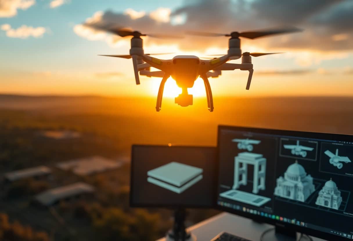
Future Trends in Drone 3D Modeling Using Structured Optics
In the future, drone 3D modeling will be increasingly integrated into theStructured Photonics (SfM)technology to improve the accuracy and speed of your models. With improved hardware performance and algorithmic advances, you can expect to generate high-quality 3D models more quickly. More about10 Basic Steps to Apply for a Drone Permit in the UKThis information will further promote the popularization and application of this technology.
Technological Advancement
As image processing technology continues to advance, you'll be able to utilize newer algorithms to improve the efficiency and accuracy of your drone-generated 3D models. These advances will not only reduce modeling time, but also improve model detail.
Potential Market Growth
The future of the drone 3D modeling market is promising.Broad Growth PotentialThis demand will continue to rise as the need for digitization increases across all industries. As you can see, fields such as architecture, archaeology and land management are increasingly demanding efficient and accurate 3D modeling technology.
Due to the development of drone technology and the decreasing price needed to construct 3D models, it is expected that you will beThe next few yearsSee an explosion of potential markets. This means not only more business opportunities, but also a growing demand for 3D modeling technology so you can quickly adapt to changes in the marketplace and seize new business opportunities.
Conclusion: The Role of Motion Recovery Structures in Drone 3D Modeling
In drone 3D modeling, Structure in Motion (SfM) technology is critical for generating high-quality 3D models. By analyzing the viewpoints of multiple images, you can reconstruct the 3D structure of an object or terrain, which is valuable for applications in fields such as geographic information systems (GIS), architecture, and archaeology. With SfM, you can not only improve the accuracy of your modeling, but also increase your productivity and make your projects more competitive.
Frequently Asked Questions
Q:What is the role of motion recovery structure in 3D modeling of a drone?
A: Structure for Motion Recovery (SfM) is a computer vision technology that constructs 3D models by analyzing a series of images taken from different angles. In drone 3D modeling, SfM can effectively generate highly detailed 3D terrain maps and models from aerial photographs, providing an efficient and accurate method of data collection.
Q: What kind of data is needed to use the Motion Recovery Structures technique?
A: Using SfM technology requires capturing image data from multiple angles. In drone operations, it is often necessary to take pictures of the same area or object at different heights and angles to ensure the accuracy and integrity of the model.
Q: How can motion recovery structures enhance the accuracy of drone modeling?
A: SfM enhances modeling accuracy by calculating feature points in an image and reconstructing the positions of these points in 3D space. This process eliminates some of the errors in conventional measurements and improves the accuracy of the model.
Q: What are the advantages of motion recovery structures over laser scanning?
A: Compared with laser scanning, SfM is usually cheaper, more flexible and requires no specialized equipment. A drone can generate a 3D model from just a photo taken by a camera, which is suitable for a wide range of areas and complex environments.
Q: How can we improve the efficiency of motion recovery structures in drone operations?
A: Ways to improve efficiency include proper route planning to cover the target area, use of high resolution cameras to take pictures, and keeping the image overlap rate in the proper range when taking pictures (60%-80% is usually recommended).
Q: What is the role of motion recovery structures in post-processing of drone modeling?
A: In the post-processing stage, the point cloud data generated by SfM can be further used to generate meshes and textures, which results in a more visually appealing 3D model and enhances the realism of the model.
Q: What are the technical challenges of restoring structure to a sport?
A: SfM can be challenged by lighting variations, image blurring, lack of sufficient features in the scene, and interference from moving objects. All these factors may affect the quality of 3D reconstruction, so extra care should be taken when shooting.
