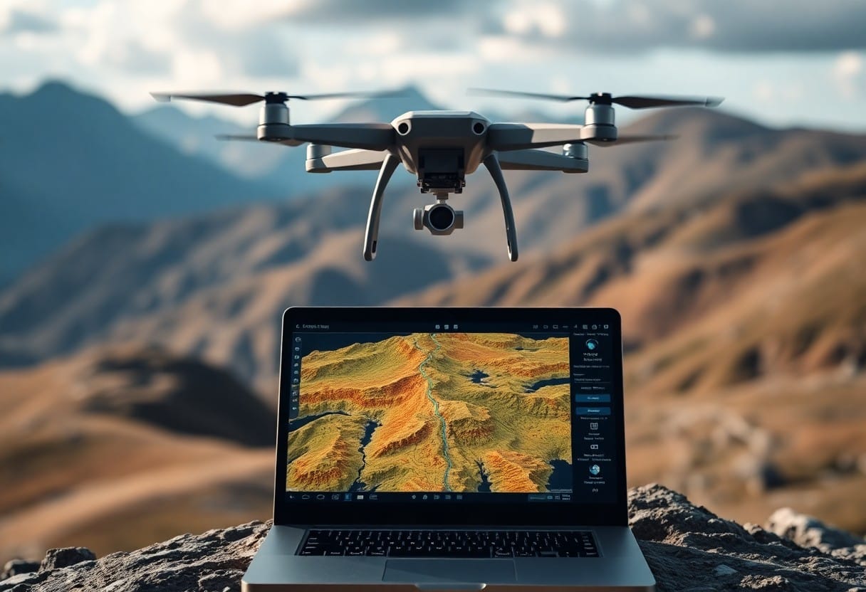
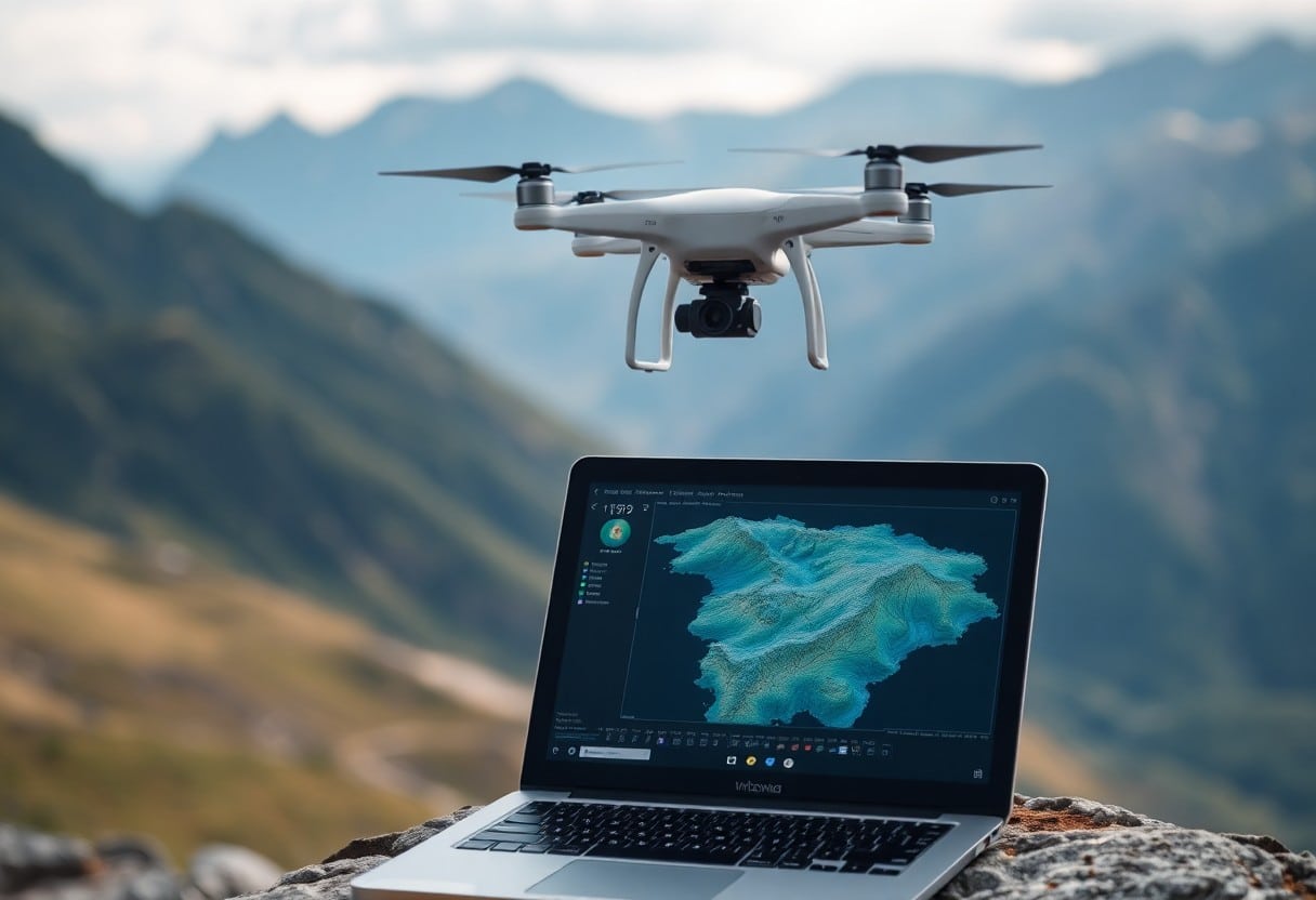
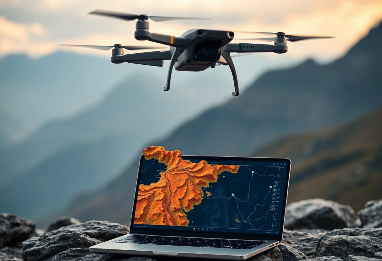
Unlocking Drone Mapping - 7 Key Steps to Mastering Aerial 3D Reconstruction
In today's rapidly advancing technology, UAV mapping has become a key tool for obtaining highly accurate 3D reconstruction data. You can do this bySeven Key StepsIn the past, we have been able to learn how to utilize drones to carry outEfficient aerial 3D reconstructionThe final result will be accurate and professional. From choosing the right equipment to processing the data, every step is critical to the accuracy and professionalism of the final result. This article will guide you on how to safely and efficiently unlock the potential of drone mapping and stand out in the field.

Important points:
- Choose the right drone: Ensure that technical specifications, such as camera resolution and flight time, are met to meet shooting requirements.
- Planned routes: Use professional software for route planning to ensure coverage and efficiency.
- Data collection: Collect high quality image data under ideal weather conditions to ensure image stability and clarity.
- Image processing: The images are stitched and processed using appropriate software to produce highly accurate 3D models.
- Model Validation: The generated 3D model is checked to ensure that it meets the expected accuracy and fidelity.
- Applied Analysis: Further analysis and applications, such as topographic surveys or building plans, are based on the generated 3D model.
- Keep learning: Keep track of the latest drone and modeling technology and continue to upgrade skills and knowledge.
Understanding UAV Technology
In today's technological age, Unmanned Aerial Vehicles (UAVs) have become an important tool for map production and 3D reconstruction. Through the overhead perspective of a UAV, you can collect and analyze large amounts of geographic data that can be used for a variety of applications, including building surveillance, agricultural management, and environmental monitoring. Whether you are a professional surveyor or a hobbyist, understanding UAV technology is the foundation for mastering aerial 3D reconstruction.
Types of UAVs for mapping purposes
Different types of UAVs are suitable for various mapping needs, here are some common types of UAVs:
- Multi-rotor drone - Ideal for photographing small areas.
- Fixed-wing drone - Ideal for large scale mapping.
- Hybrid Drone - Combine the advantages of multi-rotor and fixed-wing.
- Vertical Takeoff and Landing Drone - Flexible and suitable for narrow areas.
- Industrial Drones - Designed for specific industries, such as agriculture or construction.
These UAV types offer different solutions based on your specific needs, helping you to produce efficient maps.
Key Components of UAV Systems
Every UAV system contains several important components that are critical to its performance and functionality. You need to understand these components to ensure that your UAV works properly and produces high quality map data.
| assembly | functionality |
| fuselage | Framework to support the entire UAV |
| Battery | Provide power for flight |
| Camera | Responsible for taking images of the ground |
| Navigation System | Ensure accurate UAV flight |
| Control System | Operate the UAV's core system |
The major components of the UAV system includefuselage,Battery,Camera,Navigation Systemas well asControl SystemThese components are critical to your operation. The proper functioning of these components not only affects flight efficiency, but also image quality and data accuracy, so you need to pay enough attention and inspection to ensure safety and performance.
Plan your aerial mapping project
Prior to the aerial mapping project, thePlanningThis is a very important step. First, you need to determine the purpose of the mapping and what you hope to achieve. Effective planning increases overall efficiency and avoids unnecessary errors and rework. For the latest research trends, you can refer to this articleHow to Enhance Aerial Photography Techniques for Captivating Shots?The
Site Assessment and Objectives
When conducting a site assessment, you need to consider the terrain, vegetation and possible obstacles to ensure that your mapping achieves the desired objectives. This process helps to identify potential challenges and then set specific mapping goals.
Trail Design and Considerations
When designing a flight path, you need to consider altitude, speed, and camera overlap to ensure complete and high-quality image data. In addition, theAvoid power lines, buildings or other obstacles.This is especially important for keeping drones safe.
When designing a flight path, you should take into account the altitude and speed of the flight, which can affect the resolution and coverage of the image.Ensure Camera Overlapappropriate, which is crucial for subsequent 3D reconstruction. At the same time, the local weather and wind speed should be assessed in order to choose the appropriate flight time.Reducing environmental factors that pose a riskThese considerations can help you plan a safe and efficient flight path to achieve the best possible mapping results. These considerations can help you plan a safe and efficient flight path to achieve the best possible mapping results.
Data Acquisition Technology
In drone mapping.Data Acquisition TechnologyThe key to success. You need to select the right equipment and instruments to ensure high quality images and data. An optimized collection strategy increases efficiency, reduces the need for repetitive flights, and accurately captures the 3D information you need.
Lens selection and setup
Choosing the right camera and its settings is critical to the quality of your images. You should choose a camera and lenses based on the terrain, shooting environment and desired resolution. Make sure to adjust the appropriate exposure, ISO and shutter speed to get the sharpest, most realistic results.
Flight parameters for optimal data capture
In the course of a flight mission.Altitude, speed and courseThese are all critical factors that affect the quality of the captured data. You must calculate these parameters carefully to ensure that the depth of field overlap meets your requirements and to avoid distortions caused by shooting too fast or too slow.
For optimal data capture, special attention should be paid to setting the flight parameters.Flying height, speed and camera overlap. Generally, an overlap of about 70%-80% between each image is best to ensure accuracy in later modeling. In route planning, you also need to consider wind speed and the surrounding environment to avoid unexpected flight disturbances. Using automatic control mode to fix these parameters effectively reduces human error and improves the reliability and consistency of data collection.

Handling Aerial Data
in progressHow to choose the right 3D modeling software for your project?The first thing you need to do is process the data efficiently. This step involves cleaning, sorting and integrating the images acquired from the drone to ensure that the data can be seamlessly used in the subsequent 3D reconstruction process.
Software Options for 3D Reconstruction
When performing 3D reconstruction, you need to choose the right software for your aerial data. Common choices include Photoscan, Pix4D, and DroneDeploy, among others, which help you quickly generate high-quality 3D models. Each software has its own unique features and benefits, so you can choose the best option for your specific needs.
Steps in Data Processing and Quality Control
To ensure the reliability of your 3D reconstruction data, you must perform meticulous data processing and quality control.Most importantly, you'll want to check the clarity of the image, the overlap, and the integrity of the dot cloudto troubleshoot any errors that may affect the final result. During this process, you may also need to perform data weighing and splicing to calculate the correct geographic coordinates and accuracy of the dataset.
in progressData processing and quality controlWhen performing the steps in the 3D modeling process, you should pay special attention to the degree of image overlap, which is a key factor affecting the accuracy of the modeling. Your images should have an overlap of at least 80% in order to effectively generate highly accurate 3D models. It is also important to check for possible image distortions and noise, as this can lead to deviations in model generation. At this stage, you will realize that every little detail of quality control is extremely important in determining the quality of the final product.
Analyzing 3D models
In the process of mastering drone mapping, analyzing the3D modelIt is an important step in improving your skills. Through in-depth analysis, you can learn about the accuracy and usefulness of the model, as well as identify potential problems. For further study, you can refer toA Step-by-Step Guide to Enchanting Aerial PhotographyThe following is a summary of the information provided by the Government of the Hong Kong Special Administrative Region (HKSAR).
Model Evaluation Techniques
For the evaluation of 3D models, you can use a variety of techniques, such as the comparison of ground control points, point cloud density analysis, and the evaluation of measurement accuracy. These techniques will help you to ensure the accuracy and usability of your model.
3D modeling in various fields
3D models have a wide range of applications in areas such as architecture, environmental monitoring and urban planning. You can use these models for visualization, data analysis, and planning to provide a more accurate basis for decision-making.
Scope of Application of 3D ModelingWhether it's generating detailed structural views in building design, land management in agriculture, or even analyzing historical sites in archaeology, these models increase your productivity and accuracy. At the same time, they enable you to better understand and plan your projects, which in turn fosters innovation.

Best Practice: Drone Mapping
In drone mapping, followBest Practicesis key to ensuring success. This not only improves data quality, but also reduces risks and errors. You should familiarize yourself withTopographic featuresCareful planning of flight paths and selection of appropriate tools and techniques in relation to the needs of the target area will help you achieve the best possible mapping results.
Safety and Compliance
Prior to drone mapping, you mustCompliance with safety normsrespond in singingLegal conditions. Make sure you know the laws and regulations in your area, including flying altitudes, no-fly zones and permit requirements. This not only protects your drone, but also ensures the safety of your crew and the rights of others. Knowing every restriction and standard resource will allow you to avoid potential legal issues.
Tips for efficient mapping operations
In order to improve the efficiency of drone mapping, you should have a clear plan and operational procedures. Proper time management and resource allocation are key. Using automated flight planning software can dramatically improve your workflow. EnsureData LoggingProtecting the drone's battery life is also a major concern. Knowledge is the key to efficiency, and the more you know about every detail of your operation, the more you can minimize delays.
- Automation ToolsIt's the key to upgrading your work.
- Clear Programswill ensure seamless operation.
- Data ManagementIt must be followed up closely.
- Know that you can further improve the efficiency of your operations by having clear flight tasks and frequent equipment checks. The use of efficient data processing tools, such as image post-processing software, can speed up the process of generating results. Regular training and skill reviews are also vital to continually improve your ability to perform at your best on every mapping mission.
Unlocking Drone Mapping - Seven Critical Steps to Mastering Aerial 3D Reconstruction
With these seven key steps, you will be able to effectively master the use of drones in aerial 3D reconstruction. From choosing the right equipment to mastering data handling techniques, each step is critical to the final result. As technology advances, the use of drones in mapping is no longer just a specialist's monopoly, but a skill that can be easily mastered by anyone who wants to do it. Keep learning and practicing and you will find unlimited possibilities in this field.
Frequently Asked Questions
Q: What is the UAV map unlock?
A: UAV map unlocking refers to the process of collecting and analyzing spatial data using UAV technology to generate 3D reconstructed maps. This technology can be applied to various fields such as urban planning, building inspection and environmental monitoring.
Q: Why is aerial 3D reconstruction necessary?
A: Aerial 3D reconstruction can provide a more realistic and comprehensive visualization of the terrain and buildings, helping people to better understand and analyze land use, supporting decision making and improving work efficiency.
Q: What do I need to do to unlock the UAV map?
A: Before you start, you need to prepare a suitable drone, suitable camera equipment, relevant software tools, and a detailed plan for the mission. In addition, it is necessary to ensure compliance and understand the local laws and regulations.
Q: How to do UAV aerial photography?
A: During the shooting process, make sure the battery is sufficient and the signal is stable, and choose sunny weather to avoid the interference of shadows. Fly safely according to the planned route and set the shooting parameters reasonably to ensure the capture of high-resolution image data.
Q: What is 3D reconstruction software and how do I choose it?
A: 3D reconstruction software is a tool that helps to convert captured 2D images into 3D models. When choosing one, you should consider its functionality, ease of use, supported data formats, and community support. Common software includes Pix4D, Agisoft Metashape, and so on.
Q: What are the challenges of UAV map unlocking?
A: The challenges of UAV map unlocking include the complexity of the operating environment, the learning curve of the technology, the time cost of data processing, and the legal and privacy issues that need to be addressed. The key to success is thorough preparation and continued practice.
Q: How to apply the collected data after unlocking the UAV map?
A: The data collected can be used for a variety of applications, including urban planning, resource management, agricultural monitoring, and building inspections. Through data analysis, decision makers can formulate strategies and countermeasures more accurately.


