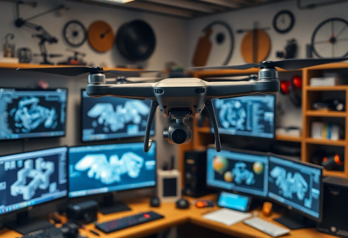
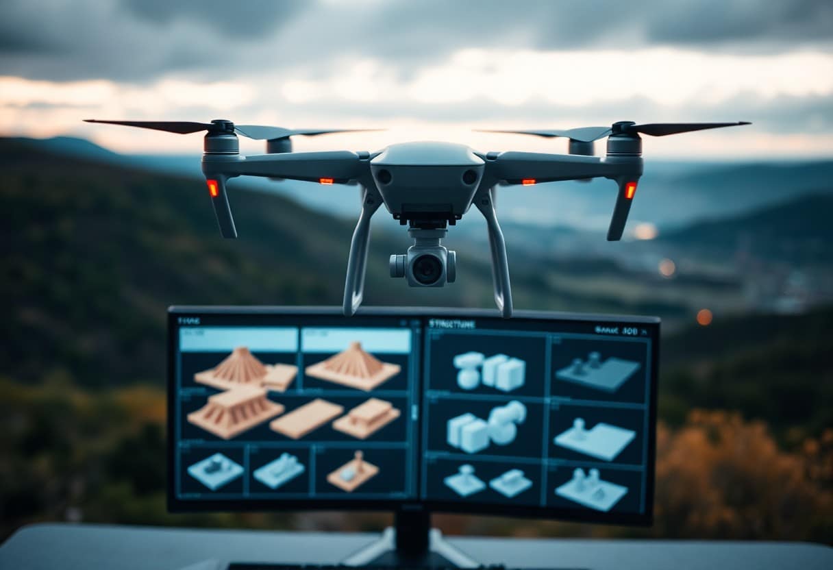
Mastering Drone Mapping - 7 Steps to Enhanced Aerial 3D Reconstruction
In today's digital age, UAV (Unmanned Aerial Vehicle) mapping technology has become a central tool in GIS and construction engineering. If you want to enhance your aerial 3D reconstruction skills, mastering theSeven Steps to Drone MappingThis is the best choice for you. With these steps, you will be able toImprove data accuracyrespond in singingOptimize WorkflowThe result is a higher quality 3D model. Ready to revolutionize your mapping skills?
Key Points:
- Unified Planning:A clear plan for aerial photography is the key to success, with flight paths and camera sequences planned in advance.
- Equipment Selection:Choosing the right drone and camera ensures that high resolution images are captured.
- Photography Tips:Master the camera angle and altitude to ensure that you get a complete picture of the terrain.
- Data processing:Image processing using specialized software to generate high quality 3D reconstructed models.
- Check for accuracy:The reconstruction results are checked to ensure that the model matches the actual terrain.
- Keep learning:Continuously update your knowledge with the latest drone mapping technology as it evolves.
- Application Areas:Learn about the many application scenarios for drone mapping, such as agriculture, construction, and archaeology.
Understanding Drone Mapping
Drone mapping is a technology that utilizes drones for terrain mapping and data collection. This technology enables you to quickly and efficiently generate highly accurate 3D reconstructed images that can be used in a variety of fields such as construction, agriculture and environmental monitoring. With drones, you can acquire data in hard-to-reach areas, shorten project timelines and reduce costs.
Definition of drone mapping
Drone mapping refers to the process of using a drone to carry out terrain mapping and image collection with various sensors on board. It combines aeronautical technology with advanced data analysis, enabling you to generate accurate maps and three-dimensional models for a wide range of applications in the fields of geographic information systems (GIS), construction and environmental monitoring.
Key technologies for drone mapping
There are several key technologies you need to understand in drone mapping, including high-resolution photography, Global Positioning System (GPS), autonomous driving technology, and data processing software. These technologies work together to provide you with accurate geographic data and models.
Drone MappingKey TechnologiesHigh-resolution photography is included, which allows you to capture sharp details; Global Positioning System (GPS) helps you achieve data location and accuracy; and autopilot technology improves flight stability and efficiency. In addition, the use ofProfessional data processing softwareWith Drone Mapping, you can convert the data you collect into usable maps and 3D models that facilitate more efficient planning and decision-making. With these technologies, the accuracy and reliability of drone mapping is significantly improved, which is critical to the success of your project.
Importance of Aerial 3D Reconstruction Technology
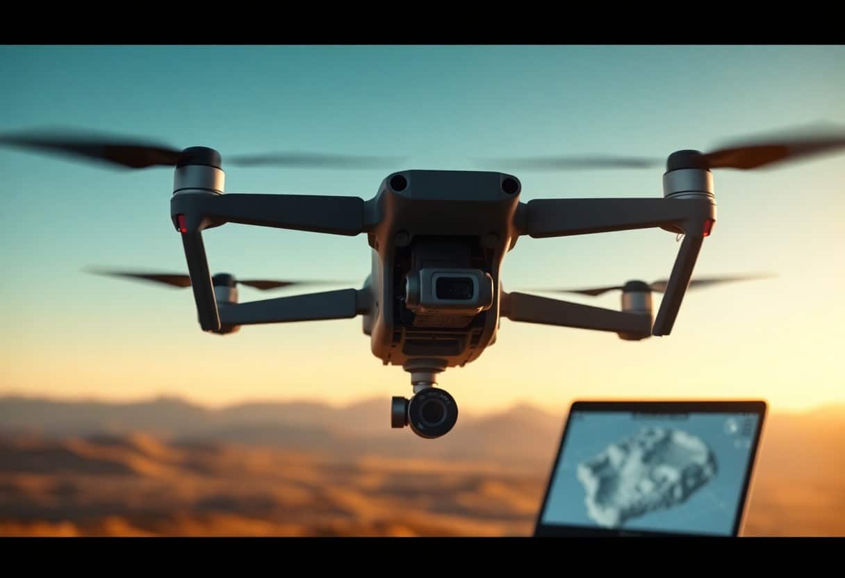
Aerial 3D reconstruction technology has become an indispensable tool in today's industries. Through high-precision mapping and data capture, you can obtain detailed spatial information that will help you better understand the terrain and environment. In addition, theWhat is the role of motion structures in 3D modeling of a drone?The basic concepts of this technology are introduced to make your operations more efficient when using a drone for large-scale mapping.
Used in various industries
Aerial 3D reconstruction technology is used in a wide range of applications, including industry, agriculture, construction, and the environment. Whether you are modeling a construction site or inspecting the health of a farm field, you will find value and convenience in this technology.
Benefits of Enhanced Reconstruction
Enhanced reconstruction technology not only improves the accuracy of your data, but also enhances the efficiency of your decision-making process. With high-resolution 3D models, you can analyze the scene in depth and quickly grasp important information, which is essential for executing plans and managing risks.
Benefits of Enhanced Reconstruction TechniquesIt increases the depth and accuracy of analysis, which is especially important in hazardous environments. In construction and engineering projects, for example, you can monitor progress in real time and identify potential problems early, effectively reducing risk and saving costs. Further, these high-quality reconstructions help you make better predictions and plans, ultimately contributing to the success of the entire project.
A Step-by-Step Guide to Mastering Drone Mapping
During the drone mapping process, you need to follow a clear set of steps to improve the accuracy and effectiveness of your 3D reconstruction. This step-by-step guide will help you every step of the way, from choosing the right drone to presenting the results. For example, you can refer toWhat are the pilot certification requirements for commercial drones?for more in-depth scientific knowledge. This guide contains seven important steps to excel in drone mapping.
| Steps | descriptive |
|---|---|
| Choosing the right drone | Ensure that the drone's functionality matches the requirements. |
| Plan your mission | Detailed planning of flight paths and shooting times. |
| Data Collection Technology | Use appropriate methods to collect high quality data. |
| Image Processing Workflow | Processing of engineered images. |
| 3D reconstruction using software | Use professional software to convert data into 3D models. |
| Quality Control and Verification | Checks and ensures accuracy of data. |
| Effective presentation of results | Visualization of data results. |
Step 1: Choosing the right drone
When choosing a drone, you should consider factors such as its camera performance, flight time, and operating range. These will directly affect the quality of the final data and the accuracy of the 3D reconstruction.
Step 2: Plan your flight mission
When planning a mission, you need to consider the terrain, weather, and other environmental factors to ensure the drone operates under optimal conditions.
In addition, you need to develop a clear flight path and set up shot intervals to obtain continuous images with high overlap rates, which will help improve the accuracy of the 3D reconstruction.
Step 3: Data Collection Techniques
Effective data collection techniques are the key to successful drone mapping. You should choose the right camera parameters, such as exposure time and shutter speed, to capture sharp images.
With automated flight modes, you can ensure that the drone flies smoothly along a preset path, which helps to obtain consistent data and avoid human-induced biases.
Step 4: Image Processing Workflow
The image processing workflow is an essential process for converting captured images into usable data. You need to use professional image processing tools to accomplish this process.
At this stage, you need to stitch, correct, and adjust the image to ensure it is distortion-free and suitable for further analysis, which is critical to achieving a high-quality 3D model.
Step 5: 3D Reconstruction Using Software
When performing 3D reconstruction, you need to choose the right software, which will affect the quality of the final result. There are many specialized software options available on the market.
These tools can convert processed image data into 3D models and provide various functions for modeling, such as depth mapping, feature extraction, etc., to help you better understand the data.
Step 6: Quality Control and Verification
Quality control and validation are critical to ensure the reliability of your data. You need to check the clarity of the images, the overlap, and the accuracy of the processed models.
Establishing a standardized quality inspection process and conducting regular comparative analyses to ensure that your products meet the requirements and expectations of your customers is essential to enhance the professionalism of your work.
Step 7: Effective Presentation of Results
The right way to present your results can help you better communicate your findings. Use visualization tools to present 3D models so that the audience can understand the data at a glance.
You can share these results through presentations, workshops or social media to emphasize their relevance to real-world applications, further enhancing your professional image and impact.
Common Challenges in UAV Mapping
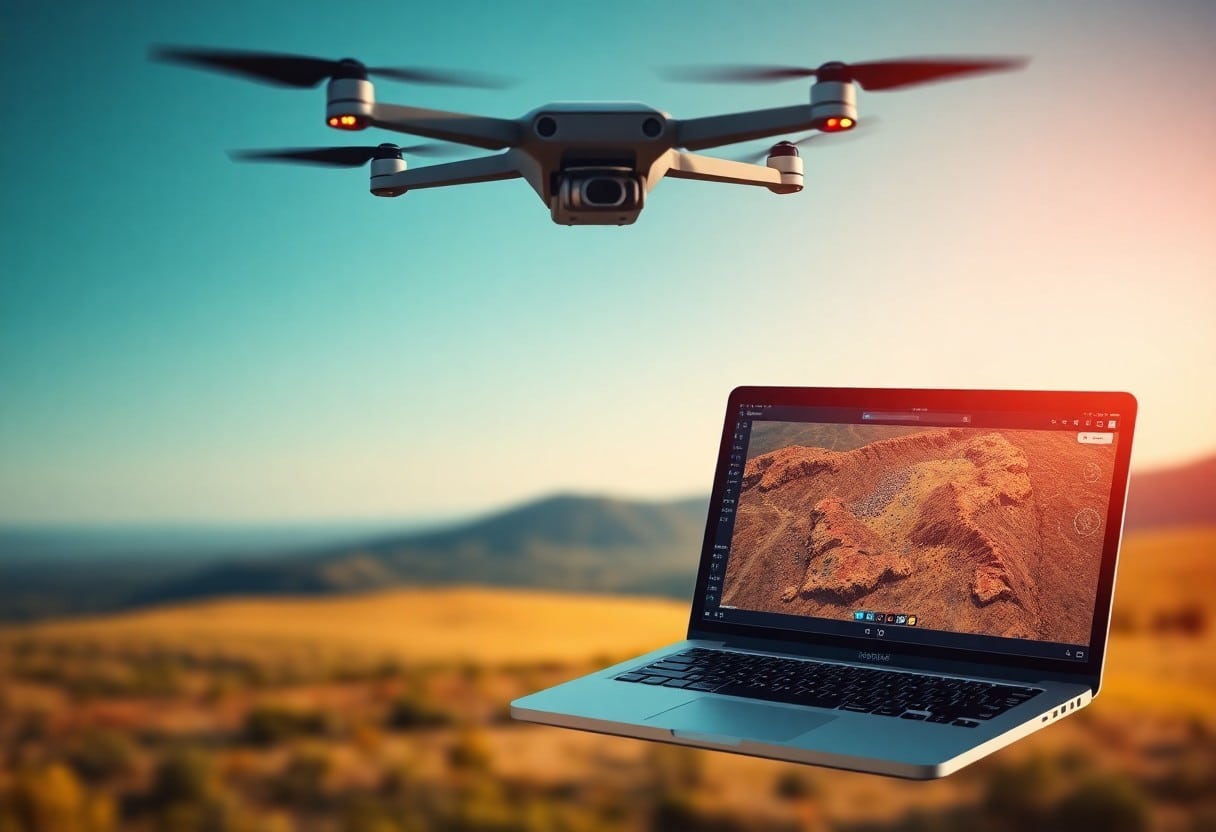
When performing UAV mapping, you may face a variety of challenges that may affect the effectiveness of your 3D reconstruction and the overall quality of your data. Taking these challenges into account and understanding the potential problems and their solutions will help you complete your project more efficiently, thereby improving the accuracy and reliability of your mapping.
Technical Limitations
The technical limitations of UAV mapping are an important factor that you must consider. These limitations may come fromSensorThe accuracy of theData Processingcapacity andDroneThe operating range of the project. Be sure that the equipment and technology you select will meet the requirements of the project.
Environmental Factors
Environmental factors have a significant impact on UAV mapping. Weather conditions, terrain features, andLight conditionsAll can influence the outcome of your mapping. When planning your shoot, pay close attention to these environmental variables to ensure that you get high quality data. Assuming you are able to evaluate these environmental factors properly, you will be more likely to get the desired results.
When mapping UAVs, be aware that the following environmental factors may affect your work:
- Weather conditionsThe following are some examples: wind speed and rainfall, which affect flight stability and data quality.
- topographic undulation: UAV maneuvering will be more difficult in high or rugged terrain.
- Changes in Light and Shadow: Changes in sunlight may cause differences in image contrast.
Assuming that you plan well and meet these challenges, your UAV drawing results will improve dramatically.
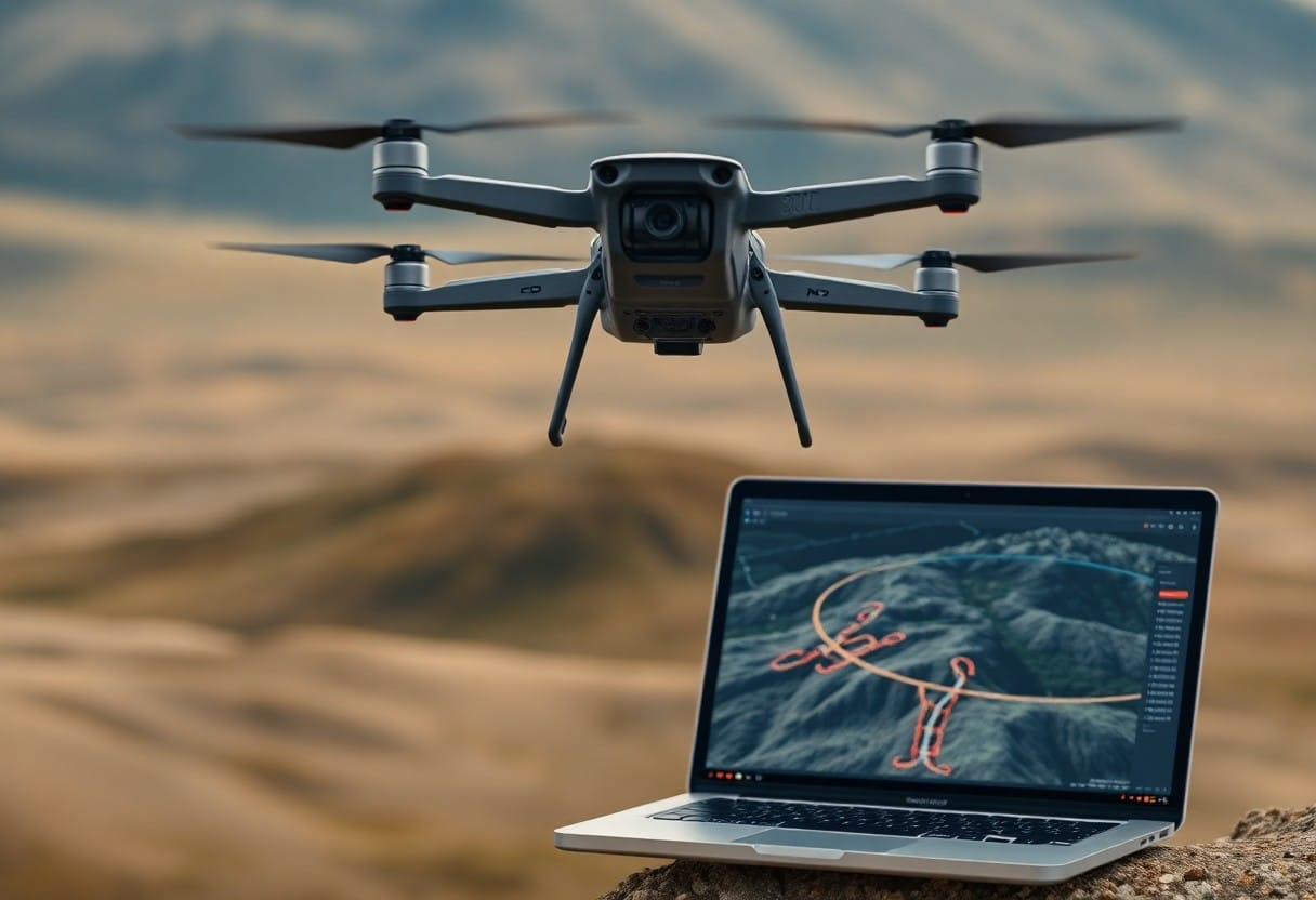
Future Trends in Drone Mapping
The future of drone mapping will focus on automation and intelligent technologies. With advances in artificial intelligence and machine learning, the ability of drones to collect and analyze data will increase dramatically. For example, you can refer toAir Navigation Approvals - 7 Key Steps to Compliance in the UKThe following are some examples of the approaches that will be taken. These practices will improve the accuracy of 3D reconstruction and speed up the overall mapping process.
Innovation in Drone Technology
Innovations in drone technology will enable a wider range of applications, including environmental monitoring, agricultural surveillance and infrastructure inspection. These innovations enable you to obtain higher quality data and improve operational efficiency.
Advances in Software Solutions
Advances in software solutions will make drone mapping more efficient and accurate. The new generation of analytics software not only supports high-resolution data processing, but also automates data output and reduces manual intervention. This means you can complete more complex projects in less time, resulting in increased productivity and efficiency.
As technology evolves, advanced software solutions will be introduced to theIntelligent Automation,Real-time data processingrespond in singingCloud Storageand other features that make it easier for you to manage and analyze your data. These technologies not only increase the accuracy of your work, but also reduce operational risk, allowing you to focus on creative work rather than tedious data processing.
Mastering Drone Mapping - 7 Steps to Enhanced Aerial 3D Reconstruction
With these seven steps, you can improve the efficiency and accuracy of aerial 3D reconstruction. Each step is critical, starting from choosing the right drone equipment, to accurately setting the shooting parameters, and post-processing the data. As you gain experience, you will be able to master the drone mapping technology and bring your project a better spatial resolution and a more professional finished result.
Frequently Asked Questions
Q: What is "Drone Mapping - 7 Steps to Improve Aerial 3D Reconstruction"?
A: "Drone Mapping - 7 Steps to Enhance Aerial 3D Reconstruction" is a systematic guide designed to help professionals who use drones for mapping and 3D reconstruction to improve the efficiency and accuracy of data collection through seven key steps.
Q: Why are drones so important in map making?
A: Drones are able to collect a large amount of data in a short period of time and access areas that are difficult for humans to reach, providing high-resolution images and terrain data, thus greatly enhancing the accuracy and efficiency of map production.
Q: What are the seven steps?
A: These seven steps include 1) planning the flight path, 2) setting the drone parameters, 3) collecting data, 4) data processing, 5) generating a 3D model, 6) performing quality checks, and 7) validating and applying the results.
Q: What type of drone do I need to use to complete these steps?
A: A drone with a high resolution camera and stabilized flight system is required. In addition, the drone should be equipped with GPS positioning and auto-routing to ensure the accuracy and repeatability of the data.
Q: Is the data processing process tedious?
A: Data processing requires the support of professional software. Although the process may be cumbersome, it can be greatly simplified and made more efficient with modern image processing and 3D reconstruction software.
Q: How can I validate my 3D model after completing these seven steps?
A: Verification of 3D models ensures accuracy through comparison with benchmark data, on-site inspection, and accuracy analysis using measurement tools.
Q: What prerequisite knowledge is needed to learn the seven steps?
A: Knowledge of drone operations, geographic information systems (GIS), photography techniques, and basic data manipulation will be helpful in mastering these seven steps. Additionally, attending relevant training programs can accelerate the learning process.
