How can GPS capabilities make your drone navigation easier and safer?
While you're flying the drone.GPS functioncan dramatically improve your navigation experience by making it moreSimplerespond in singingsurety. With an efficient positioning system, GPS can help you plan your route, avoid obstacles, and track your drone's location in real time. Understanding how to utilize these smart technologies can allow you to fly with fewerRisksand enhance your sense of control over your drone. Whether you're a beginner or an experienced pilot, understanding the functions of GPS is an important step in flight safety.
Key Points:
- Positioning PrecisionThe GPS feature provides real-time, high-precision position data for more accurate flight paths.
- Auto-return: When the signal is weak or the battery is low, GPS allows the drone to return to the takeoff point automatically, enhancing safety.
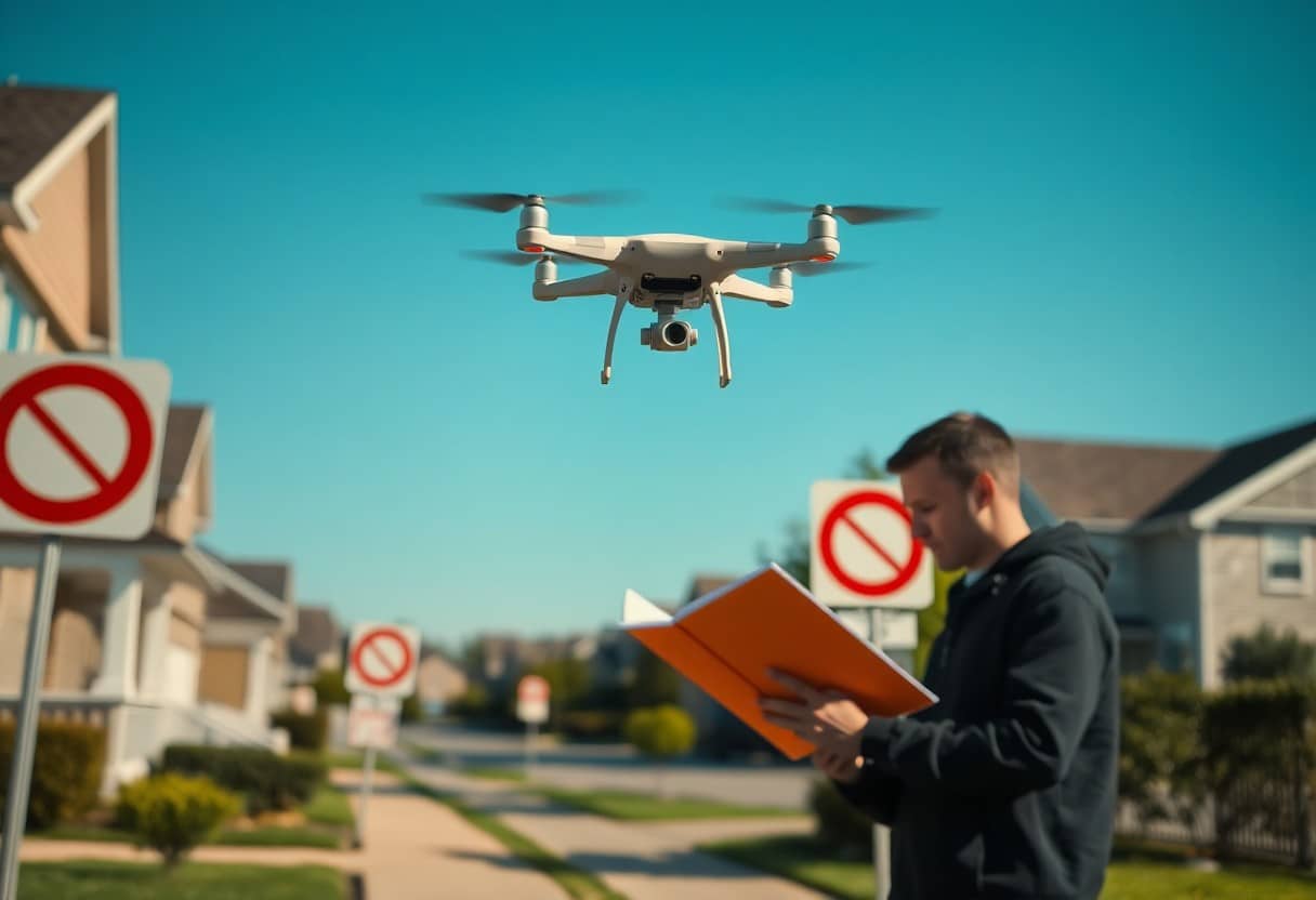
- Restricted Area Warning: The GPS function helps to plan flights to avoid flying into no-fly zones and reduce the risk of accidents.
- Highly monitored: Using GPS technology, drones can automatically maintain or adjust their flight altitude to ensure flight safety.
- Trail Planning: Using the GPS function allows you to plan your flight path in advance to avoid obstacles and improve efficiency.
- Group Flight Coordination: When multiple drones are flying in the same area, GPS can help coordinate with each other to prevent interference.
- Data Logging: GPS can record the flight path and position for subsequent analysis and optimization.
Understanding GPS Technology
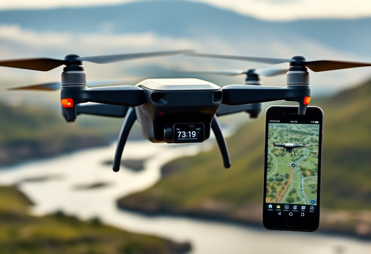
GPS (Global Positioning System) is a technology that uses satellite signals to determine the location of objects on Earth. This technology is designed to provide precise geographic location and supports a variety of applications including navigation, time synchronization, and measurement. For drone operations, GPS not only enhances ease of operation, but also dramatically improves flight safety and stability.
What is GPS?
GPS, or Global Positioning System, is a system of multiple satellites that receives signals from these satellites to calculate the precise location of your object. It provides real-time location information around the world, enabling you to better navigate and conduct aerial surveillance.
How GPS Works in Drones
The drone uses GPS technology to determine its current position and altitude, and receives signals from multiple satellites for precise navigation anywhere, anytime. This makes it easy to set a course and fly safely on a predefined route.
In a drone, the operation of GPS is based on the principle of satellite positioning. When the drone receives signals from at least four satellites, it is able to calculate its ownLongitude, Latitude and AltitudeThese data not only help you stay on the right path, but also provide you with information about your flight path. Not only does this data help you stay on the right flight path, but it also provides theCollision Avoidance, Return and Geo-fencingThese features ensure that your drone will not accidentally fly into dangerous areas or get lost. These features ensure that your drone will not accidentally fly into dangerous areas or get lost, thus increasing the overall safety of your flight.
Basic GPS Functions for Drones
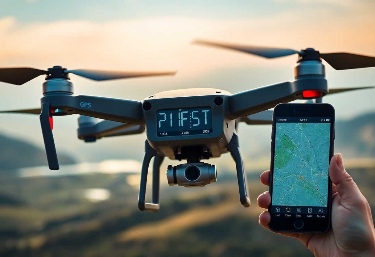
When operating a drone, it is important to havePowerful GPS functionare important factors in enhancing flight safety. These features can help you navigate more accurately, avoid high-risk areas, and ensure your drone's safe return in the event of an emergency. With9 Essential Steps to a Successful Drone Photography ProjectYou can choose the most suitable option to meet your needs.
return function
The return function is an important GPS feature in the drone. When the battery power is low or the signal is interrupted, the drone will automatically return to the take-off point. With this feature, you can avoid losing the drone or crashing it due to mishandling, thus enhancing the safety of using the drone.
Geo-fencing capabilities
The geofencing capability helps you set the flight range of your drone to prevent entry into restricted areas such as airports or dangerous zones. This reduces the risk of accidents and ensures that you can maneuver your drone in a safe environment.
ThroughGeographic FencingWith this technology, you can pre-set no-fly zones and the system will automatically limit the drone's flight range, which will greatly reduce the risk of uncontrollable accidents. Especially in urban environments or busy airspace, this feature will protect you from legal and safety issues. Users are able to avoid inadvertently flying into dangerous areas through this feature, which further enhances the safety and controllability of drone operations.
Improve navigation accuracy
With GPS technology, you can dramatically improve the accuracy of your drone's navigation. These systems provide real-time, accurate position information to help you navigate seamlessly through complex environments, avoid obstacles, and ensure safe flight.
Real-time positioning
Instant Positioning gives you the ability to know exactly where your drone is at all times. This not only enhances your control, but also makes flying safer by allowing you to react quickly to unexpected situations.
Impact of satellite signals
The strength and stability of the satellite signal directly affects the navigation effect of your drone. When the signal is weak or unstable, your drone may experience positioning errors, which may lead to unexpected or even dangerous situations.
Satellite Signal QualityYour drone's performance is critical. If the signal is affected by obstacles, weather or other factors, the accuracy of the drone's navigation will be greatly reduced, which may even result in the drone losing control or crashing. Therefore, it is important to choose the right flying site to ensure the Good satellite receptionSatellite signals are critical to the safety and operational stability of your drone. Understanding satellite signals and their effects will help you fly your drone efficiently and safely in a variety of environments.
security consideration
Your safety must be your top priority when navigating a drone with GPS capabilities. An accurate positioning and monitoring system will not only help you succeed in your mission, but also reduce the risk of accidents. For more information on droneHow Smooth Drone Movement Can Transform Your Aerial FootageThis in-depth knowledge will enhance the safety of your operations.
Collision Avoidance
Collision avoidance systems for drones utilize GPS and other sensors to increase safety and prevent collisions with obstacles or other flying objects. This technology automatically detects potential hazards and takes the necessary steps to help you fly safely.
Emergency Response Procedures
During a flight, you may face a variety of emergencies, so it's important to have clear emergency procedures in place. Your drone should have the ability to auto-return, make an emergency landing, or avoid obstacles to ensure that damage and risk are minimized in times of crisis.
In case of emergency.Rapid ResponseThis is the key. Your drone should have automatic data reporting and the ability toLoss of signalmaybelow powerIf your drone is in a critical situation, you can return quickly to ensure the safety of your equipment and surroundings. Developing a clear response allows you to remain calm in a critical situation and make the right decisions to protect your drone and your surroundings.
GPS in the Future of Drone Navigation
As technology continues to advance, theGPSIt will play an increasingly important role in drone navigation, enhancing the accuracy and safety of the drone. Future drones will be able to integrate more sophisticated GPS systems to provide greater positioning accuracy, reduce errors and minimize the risk of accidents. This will have a profound impact on the scope and effectiveness of drone applications.
Technological Advancement
On the technical side, the newSatellite Navigation SystemThe combination of augmented reality technologies will enable the drone's navigation system to achieve more precise positioning and path planning. At the same time, these advances will also enable the drone to have stronger real-time response capabilities and operate more safely in complex environments.
Potential Applications
In the future, drones can be realized in many industries.More accurateThe applications include agricultural monitoring, urban planning, and disaster response. Advances in GPS technology will enable drones to accomplish tasks more intelligently and further reduce the risk of human error.
For example, in agriculture, you can utilize drones for precise crop monitoring, which not only saveslabor powerrespond in singingTimeIn addition, they can be used in urban planning to gather geographic information to help plan for more effective urban development. Furthermore, in urban planning, drones can be used to collect geographic information to help plan more effective urban development. In disaster response, drones can be quickly directed to affected areas through GPS positioning to assist in rescue and damage assessment. These potential applications will significantly increase the utility and value of drones.
Choosing the right GPS to activate the drone
When choosing a drone, you need to consider itsGPSfeatures to ensure the accuracy and safety of your navigation. Choosing a drone with superior GPS technology can help you navigate in the9 Key Steps to Perfecting Drone Crewing TechnologyThe newest version of the program is the one that makes it easier to operate in a variety of scenarios.
Key Features
When making your selection, you should keep in mind the followingKey Features::
- Precise positioningTechnology
- Auto-returnfunctionality
- Windproof performance
- Navigational aidsSystem
- Online Map Integration
- GPS Signal Stability
Any drone equipped with these features can significantly enhance your navigation experience.
Recommended Models
There are several drones on the market today that are particularly recommended because they have excellentGPSperformance and reliability. Selecting these models will provide you withSafe and efficientThis is especially true in challenging environments. For example, some models havePanoramic PhotographyCapacity and extension of theFlight TimeThis allows you to operate at your best for both commercial use and recreational photography, both of which are worth the investment.
How GPS Features Can Make Your Drone Navigation Easier and Safer
With GPS functionality, you can dramatically improve the efficiency and safety of your drone's navigation. Accurate satellite positioning helps you find your way quickly and provides real-time advice on course adjustments to avoid obstacles and stay within flyable range. Additionally, GPS supports an auto-return function that allows your drone to return safely to the take-off point when power is low or signals are lost, giving you greater peace of mind when maneuvering your flight. These technologies not only make flying easier, but also significantly reduce the risk of accidents. Stay safe and enjoy your flight!
Frequently Asked Questions
Q: How can GPS help me navigate my drone more safely?
A: GPS systems provide accurate location data to help you track your drone's position in real time, thus minimizing the risk of getting lost or losing control of your drone. In addition, GPS can also send out alerts when the drone is too far away, helping you to take timely action.
Q: Can the GPS function help me set a route?
A: Yes, many modern drones are equipped with auto-navigation systems that use GPS data to allow you to preset a route. You simply set the start and end points and the drone will automatically follow that path, minimizing human error.
Q: What can GPS do if the drone loses signal?
A: In the event of a loss of signal, many drones have an auto-return function. This means that when the GPS signal is lost, the drone will automatically find the nearest safe path back to the take-off point, thus protecting the drone from crashing or being lost.
Q: How accurate is the GPS on the drone?
A: Modern GPS systems typically provide an accuracy of about 3 to 5 meters. Under ideal conditions, some high-end drones can achieve even higher accuracy, which is important for missions that require precise positioning and filming.
Q: Can GPS help drones avoid obstacles?
A: Although GPS itself does not provide obstacle detection, many GPS-equipped drones combine other sensors (such as infrared or ultrasonic sensors) to achieve automatic obstacle avoidance, thereby enhancing flight safety.
Q: What should I pay attention to when using a GPS-guided drone?
A: When using GPS navigation, firstly make sure that your drone software is up-to-date, and secondly make sure that the GPS signal is good while flying. In addition, stay aware of your surroundings and avoid flying in areas with strong electromagnetic interference.
Q: Are there any other benefits of GPS in drone applications?
A: In addition to navigation, GPS can also be used for geotagging, allowing users to attach location data when taking pictures or videos. This is particularly useful for later analysis or recording of flight paths for data organization and review.
