Basic Steps - How to Start Drone Mapping and Aerial 3D Reconstruction
In this article, you will learn toUAV Survey and Mappingrespond in singingAviation 3D ReconstructionThe basic steps that will help you open up new areas of exploration. Learn aboutRequired Equipment,Technologyrespond in singingworkflowYou will be able to create high precision 3D models efficiently. In addition, be aware thatsafe operationrespond in singingLaws and RegulationsThis will ensure that your project runs smoothly and achieves the desired results. Ready to embark on this exciting journey?
Key Points:
- Drone Options: Choosing the right drone is crucial for map production and 3D reconstruction, considering its camera quality and flight time.
- Photography Planning: Develop a detailed shooting plan to ensure data integrity and accuracy, including flight paths and camera angles.
- Data Collection: Data collection under ideal lighting and meteorological conditions to improve image quality.
- Image Processing: Image processing using specialized software to convert collected images into usable maps or 3D models.
- Accuracy Check: Regular accuracy checks are performed on the generated data to ensure that it meets the project requirements.
- Software Selection: Select the appropriate software tools for data analysis and visualization, such as professional GIS software.
- Continuous Learning: To keep abreast of the latest trends in drone technology and map production to enhance skills and knowledge.
Understanding Drone Mapping
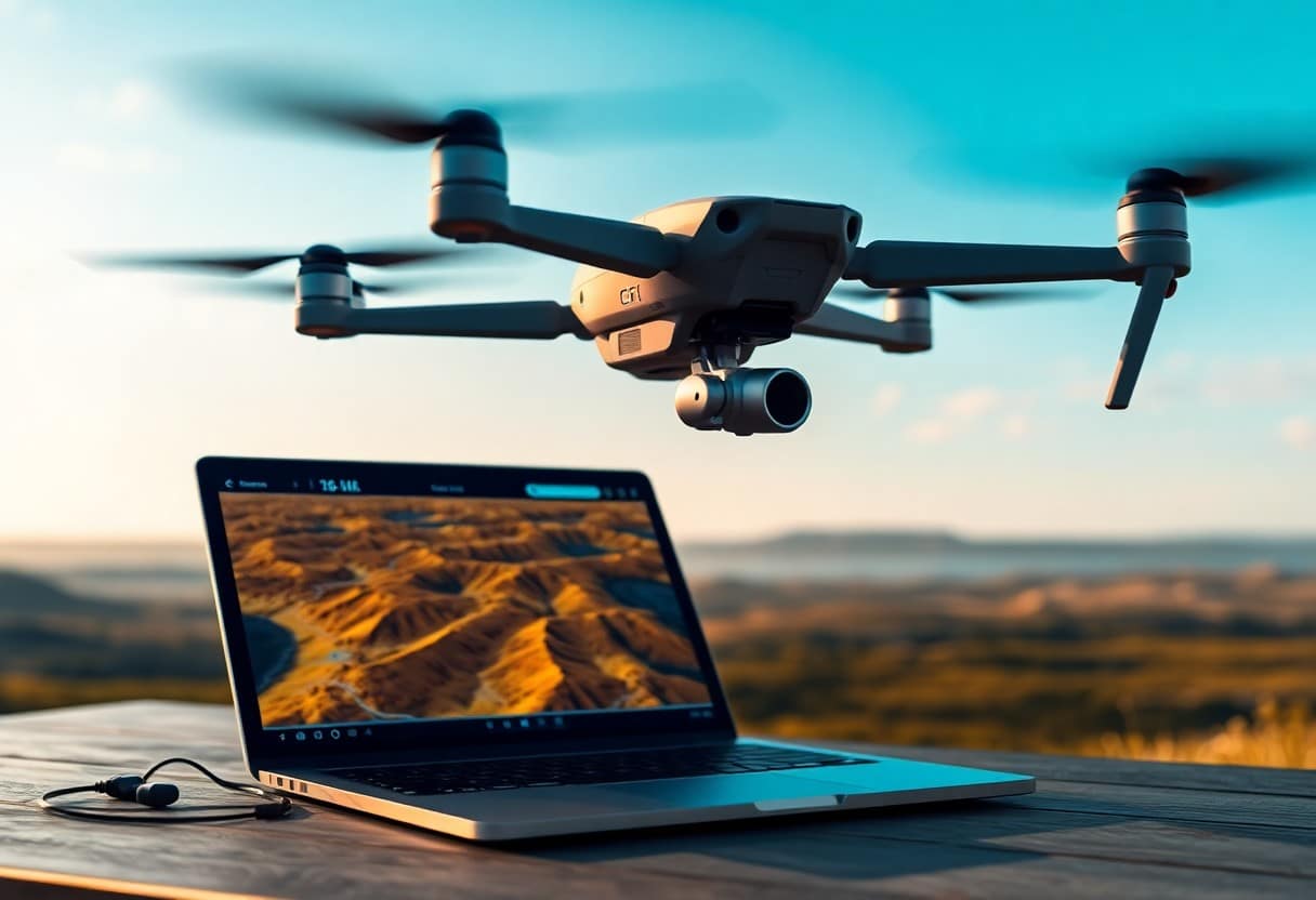
Before you start drone mapping, you need to understand the basic concepts and principles of its operation. UAV mapping is a technology that utilizes unmanned aerial vehicles (UAVs) for geographic data collection to efficiently capture a wide range of imagery for a variety of application scenarios, such as land surveys, construction monitoring, and environmental assessments.
What is drone mapping?
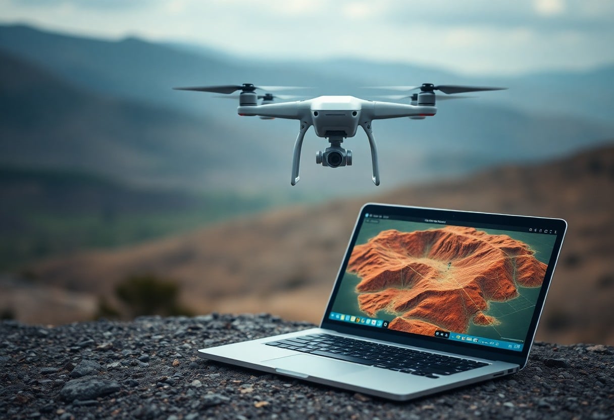
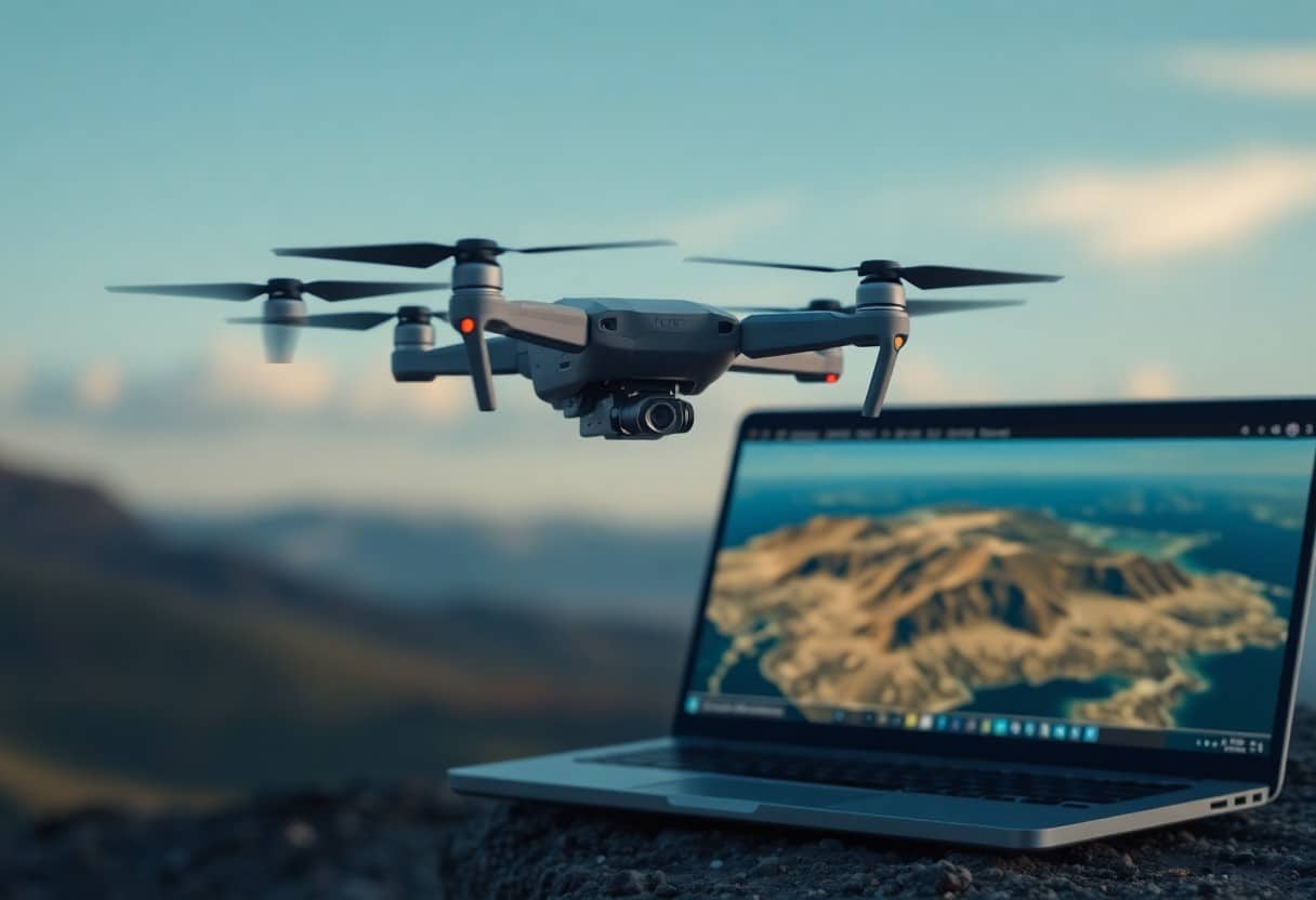
Drone mapping is the process of using drone-mounted camera equipment to acquire high-resolution imagery, which is then processed through specialized software for image processing and geographic data analysis. This technology makes the generation of topographic maps, 3D models and digital ground models faster and more efficient.
Benefits of Drone Mapping
Drone mapping offers many benefits, includingcost-effectiveness,increase efficiencyas well asData AccuracyThis technology makes it possible to acquire large amounts of high-quality data in a short period of time. This technique makes it possible to acquire large amounts of high-quality data in a short period of time, especially in areas that are difficult or time-consuming to reach by traditional methods.
The use of drones for mapping not only saves labor costs, but also improves data collection without the need to climb or go deeper into hazardous areas.On-site SecurityThe flight plan can be automated to ensure that your data is always available. At the same time, with automated flight planning, you can ensure that dataconsistencyup toAccuracyThis is critical for managing projects and conducting detailed analysis, which ultimately improves your business efficiency and decision-making ability.
Necessary equipment and software
Before you start drone mapping and aerial 3D reconstruction, it's vital that you have the right equipment and software. You need to choose the right drone, camera module, and post-processing software, all of which are central to ensuring accurate and efficient results. Detailed steps can be found inMastering Drone Controls - 7 Steps to Improve Flying SkillsThe
Choosing the right drone
It is important to choose the right drone for your needs. You should consider the drone's flight time, load capacity, and the availability of high-quality camera equipment. Different models of drones are suitable for different applications.So please evaluate your project requirements carefully.
Recommended mapping software
After your mapping work, choosing the right post-processing software is also indispensable. Professional mapping software allows you to make your data more accurate and easily generate visualization results. There are many options on the market, so evaluate each one carefully to make sure it meets your needs.
manyRecommended mapping softwareWith powerful features such as automated point cloud processing and 3D model generation. These programs often offer multiple output formats so that you can easily share your results. It's also important to understand the learning curve and support community of these programs so that you can quickly get up to speed and solve problems in the real world. Choosing the right software can have a direct impact on your productivity and professionalism.
Preparing for aerial mapping
Before starting your aerial mapping project, you need to be well prepared. One important step is to read about drone modeling, such asUnleash Creativity - 10 Essential Steps to Mastering 3D Modeling Software. This will help you understand the techniques and best practices you need and ensure that your mapping results are both accurate and professional.
Tips for Site Assessment
It is important to conduct a site assessment before starting an aerial survey. Here are a few tips:
- unfamiliartopographicalspecial feature
- take note ofEnvironmentImpact of Factors
- RecordslegislationRestrictions and Requirements
Knowing these factors will help you plan your mapping trip better.
Factors Affecting Drone Flight
The effectiveness of a drone's flight is affected by a number of factors, in particularwind speedrespond in singingWeatherConditions. Understanding these factors can help you determine the best time to fly and minimize possible risks:
- Monitoringwind speedpeace technology
- Considerationrainfalland snowfall conditions
- scrutinyTemperatureImpact
These influences are critical to your flight planning.
Factors affecting drone flight includewind speed,Air Pressurerespond in singingEnvironmental conditionsetc. These factors not only affect the drone'sstabilityIn addition, it is possible that they may have a problem with theirNavigation and data collection capabilitiesDamage. Proper meteorological conditions will ensure better flight results, while the opposite may lead to inaccurate data:
- Concernswind speedChanges in
- Pay attention to the strongSunshineirradiate
- EnsureBattery Lifeenough
These key weather and environmental factors will help you achieve successful mapping results.
Planning your airborne survey
Before starting UAV mapping and aerial 3D reconstruction, theEffective Planningis the key to success. Whether it's choosing the right area or determining flight conditions, the7 Key Steps to Airline Flight Approval - What You Need to Knowwill help you prepare.
Flight Planning Elements
When you are planning your flight.Height, speed and shot overlapis an important factor that you must consider. Ensure that your platform is capable of performing in sustained weather conditions and set the appropriate flight parameters to capture clear data.
Creating effective flight paths
In order to achieve the bestPhotographyYou will need to plan your flight path carefully. This includesEnsure adequate overlapfor image stitching, avoiding obstacles, and adjusting flight altitude to the terrain.
When creating a valid flight path, theConsider the sequence and mode of flight paths.It is important. You should design a route that covers all the required areas and matches the changes in terrain. Conduct a site survey to check for possible obstacles and flight restrictions, and adjust the route if necessary to ensure that the flight is safe.safetyandefficiencies. "
Data Collection Technology
Data collection techniques are a critical step when performing UAV mapping and 3D reconstruction. The quality and completeness of your data set will have a direct impact on the accuracy and reliability of the final product. Prior to data collection, develop a clear plan, select the appropriate equipment and flight path, and ensure that all relevant regulations are followed. Regularly check the status of equipment and data inspection during flight to ensure optimal collection results.
Tips for efficient data collection
To improve the efficiency of your data collection, you can adopt the following tips:
- Choose the right oneFlying Heightrespond in singingtempoto ensure coverage area
- in progressPhoto ShootingRehearsal before
- utilizationAutomation SoftwareTo set up a flight plan
- Check the battery level andStorage CapacityIn case of unforeseen circumstances
These processes help improve the quality and efficiency of data collection and reduce the time spent on heavy labor.
Ensure data quality capture
Ensuring quality data capture is one of the basic requirements for drone mapping. Your data must have high resolution and good image overlap, which will make 3D reconstruction more accurate. Before performing the operation, assess the weather conditions and choose an appropriate time of day to avoid factors that affect data quality. In addition, consider using a drone with stabilized camera facilities to improve image stability during the shooting process.
In the process of ensuring quality data capture, you should pay particular attention toilluminationrespond in singingFlight StabilityThe sun's rays can be very strong at midday. Intense midday sunlight may cause the image to be distorted.OverexposureIn addition, unstable flights can result in blurred images, which can affect the accuracy of 3D reconstruction. Therefore, you need to avoid extreme light conditions when selecting flight times. At the same time, choosing high-quality camera equipment and regularly checking its performance can significantly improve the quality of the captured data and ensure that the final result meets the expected standard.
Aerial 3D Reconstruction
Aerial 3D reconstruction is the process of creating accurate three-dimensional models and scenes using data collected by unmanned aerial vehicles (UAVs). This technology not only provides high-resolution maps, but also helps you analyze and make decisions in many areas, such as urban planning, environmental monitoring, and architectural design. With the advancement of technologyYou can get detailed 3D information faster and at a lower cost.This will further enhance the efficiency and accuracy of the project.
How to handle the collected data
Processing the data you collect is an important step in aerial 3D reconstruction. You need to clean and organize the data first to remove unnecessary noise, and then use the relevant software for map stitching and image reconstruction. Pay attention to error correction at each step to ensure the quality and accuracy of the final model.
Tools for 3D reconstruction
For effective 3D reconstruction, you need to utilize a range of professional tools. These tools includeImage Processing Software,Dot Cloud Processing Toolsas well asMesh Generation Softwareetc. Choosing the right technology according to your needs can significantly enhance the efficiency and effectiveness of data processing.
When it comes to 3D reconstruction, the choice of tools is crucial. Software such as Pix4D, Agisoft Metashape and RealityCapture can quickly convert your image data into high quality 3D models. These tools offer powerful features such as automatic photo alignment, point cloud generation, mesh construction and texture mapping. Choosing the right tool canEnsure that you get a detailed and realistic modelWe are committed to providing you with the best possible service, and to further enhancing your professional competence and competitiveness.
Basic Steps for UAV Mapping and Aerial 3D Reconstruction
Getting started with UAV mapping and aerial 3D reconstruction is not a complicated process, you just need to follow a few basic steps. First, select the right drone and camera equipment to ensure high quality data collection. Next, plan the flight path and set up ground control points to improve the accuracy of the measurement. After the flight, the data is processed and analyzed using specialized software to generate the required 3D model. Through these steps, you will be able to effectively carry out UAV mapping and aerial 3D reconstruction.
Frequently Asked Questions
Q: What is UAV mapping?
A: UAV mapping refers to the process of using an unmanned aerial vehicle (UAV) to perform topographic mapping and data collection. This technology can be used to create high-precision maps and three-dimensional models for a wide range of applications such as construction, real estate, agriculture and environmental monitoring.
Q: What do I need to start UAV mapping?
A: Basic equipment is needed to start UAV mapping, including a suitable drone (with photography or video capabilities), a high-resolution camera, an autopilot drone control system, and a corresponding ground control station and computer to process the data.
Q: How to choose the right drone?
A: When choosing a drone, you need to consider the flight range, image resolution, battery life, and special features required (e.g. GPS positioning system, obstacle avoidance sensors, etc.). Choosing the right model for different mapping needs is the key.
Q: What is the workflow of UAV mapping?
A: The basic workflow of UAV mapping includes: planning flight paths, executing drone flights, capturing image data, importing the data into professional software for processing, generating 3D models and maps, and finally analyzing and applying the data.
Q: How to process and analyze UAV data?
A: The data captured by UAV needs to be processed by professional image processing software (e.g. Pix4D or Photoscan). The process includes image alignment, sparse point cloud generation, dense point cloud generation and model training, and finally outputs visualized maps or 3D models.
Q: What are the challenges of UAV mapping?
A: Challenges faced by UAV mapping include climatic factors (e.g., wind speed and rainfall), operational legal compliance, flight safety, and accurate data collection and processing techniques. Therefore, it is important that these challenges are properly addressed.
Q: In what areas can I use UAV mapping technology?
A: UAV mapping technology can be applied in a variety of fields, including but not limited to architecture, environmental monitoring, agricultural inspection, archaeology, resource management, urban planning and disaster response. The versatility of this technology has made it increasingly popular in different industries.
