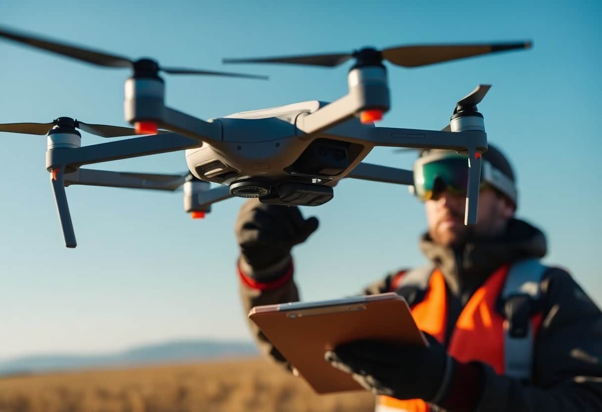
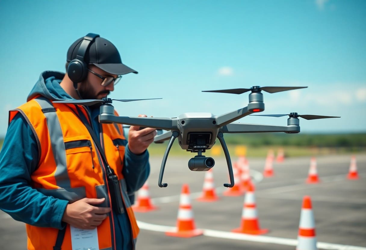
8 Steps to Accurate Drone Mapping and Aerial 3D Reconstruction
When performing Unmanned Aerial Vehicle (UAV) mapping and aerial 3D reconstruction, follow theAccurate and Effective StepsIt's important. This article will guide you through theThe Best Eight StepsThese steps will help you optimize your process, reduce the risk of errors, and improve the quality of your final results. Whether you're new to the industry or an experienced professional, these steps will help you optimize your process, reduce the risk of errors, and at the same timeEnhance project successThe
Key Points:
- Planning Stage: Ensure that the terrain and target area are well studied and planned to select the optimal shooting path and flight altitude.
- Select Equipment: Select appropriate drone and camera equipment according to mission needs to ensure data accuracy and quality.
- Data Capture: Perform efficient data capture, ensure adequate coverage area, and use appropriate overlap rates to improve accuracy in post-processing.
- Image Processing: Batch processing of captured images for further modeling and mapping, using specialized software to ensure accuracy.
- Three-dimensional reconstruction: Use the processed data for 3D reconstruction to generate accurate models to support subsequent analysis and applications.
- Quality Check: Conduct quality checks on the generated maps and models to ensure that they meet the requirements and make necessary adjustments.
- Continuous Feedback: Gather user and customer feedback to continuously improve processes and technologies to enhance the quality and efficiency of future projects.
Understanding drone (mapping) production
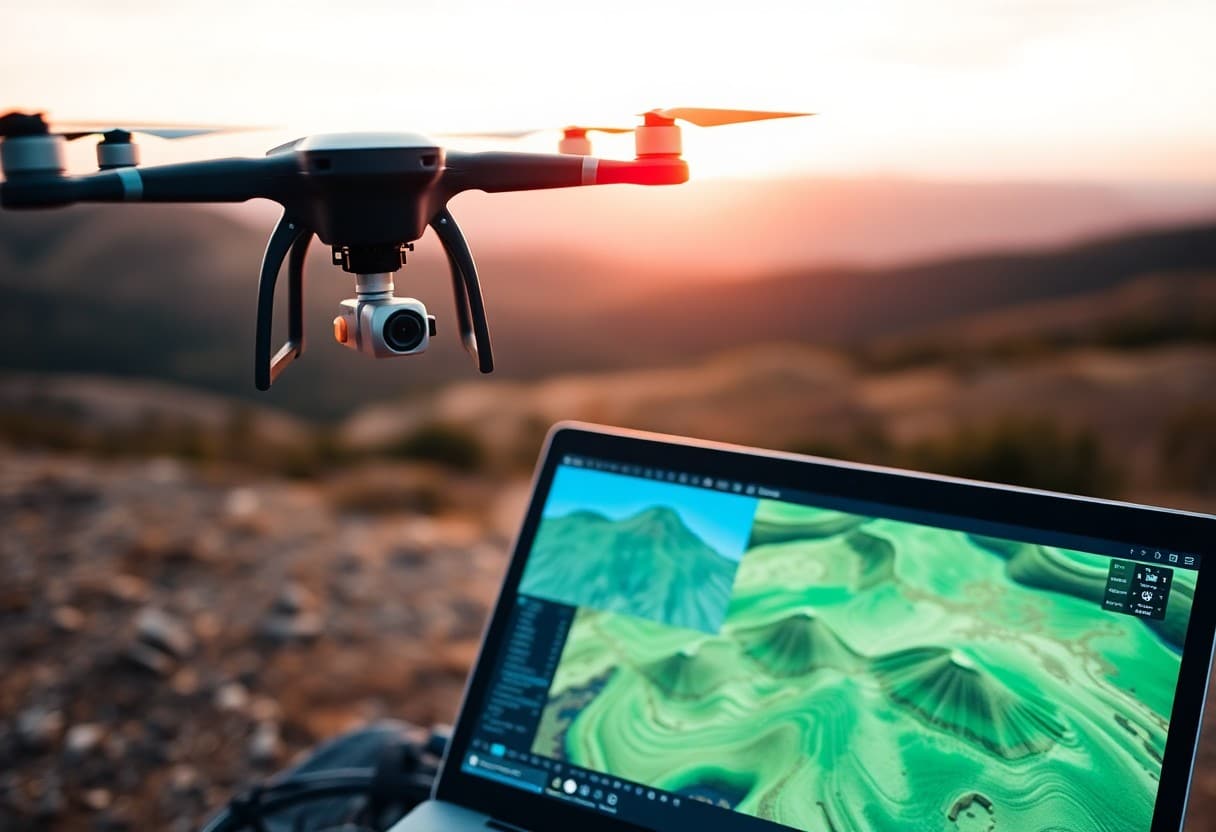
Mapping is a technique that utilizes drones to collect aerial imagery and data to create highly accurate maps and 3D reconstruction models. It is an effective data collection tool for a wide range of applications such as geographic information systems (GIS), construction, agriculture and environmental monitoring.
Definition and Purpose
Mapping covers the process of ground or airborne data collection through drone technology. Its main purpose is to generate accurate maps and three-dimensional models to help decision makers improve efficiency and accuracy in the planning and analysis process.
Advantages of drone (mapping) production
Drone (mapping) production with a variety ofNotable AdvantagesIn addition, the technology can reduce labor costs and increase the speed and accuracy of data collection. This technology's ability to cover large areas in a short period of time and to easily access hard-to-reach terrain makes drones the perfect solution forModern Geography SurveyThe powerful tool.
Compared to traditional methods, mapping not only saves money, but also reduces the cost of the process.Time CostsIt also enables high-quality data output. You can capture data in a variety of environments, whether it's urban construction or agricultural monitoring, drone technology provides a higher quality, lower cost solution. By utilizing a drone, you can quickly obtain updated terrain information to help you make informed decisions in project planning and risk assessment.
Equipment Selection
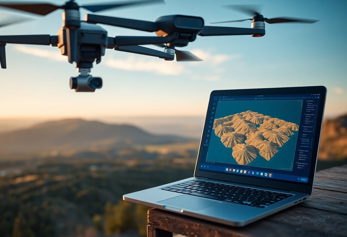
Choosing the right equipment is essential for accurate drone mapping and 3D reconstruction. You need to consider the type of drone, camera configuration and choice of accessories to ensure the best possible measurement. To learn more about drone photography measurement, please refer toWhat are the essential drone photography tips for amazing aerial photography?
Choosing the right drone
When choosing a drone, you should evaluate your needs and budget. Different drones have different flight times, weights and camera qualities. Ensure that the drone you choose is capable of carrying the required camera equipment and remains stable to get the best results.high resolutionThe images.
Necessary mapping accessories
Accessories in the drone mapping as wellmust haveFor example, you'll need high-quality cameras, stabilizers, and ground control stations. For example, you'll need high-quality cameras, stabilizers, and ground control stations, some of which can even improve the accuracy of data collection. These accessories will not only increase the safety of your mission, but also the accuracy of your data.
When selecting the necessary mapping accessories, it is recommended that you choose the
- Professional Camerato obtain high-resolution images;
- StabilizerThis is to ensure stability during the shooting process;
- Ground Control PointThe data is used to enhance the accuracy of the data;
The quality and compatibility of these accessories will have a direct impact on your final mapping results, so be sure to consider them carefully when making your selection.
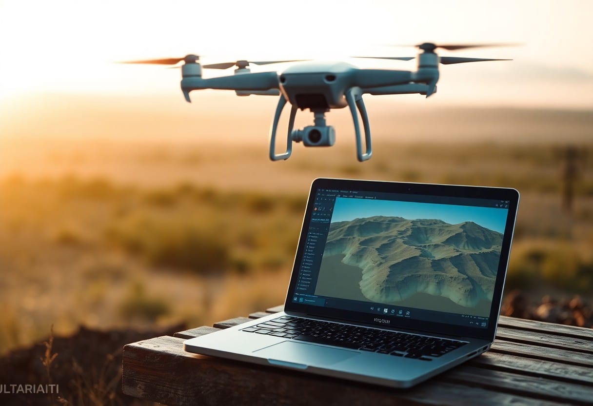
Flight Planning
Prior to drone mapping and mechanical 3D reconstruction, thePrecise flight planningIt's important. Ensure that you take environmental factors, regulatory requirements and technical needs into account to improve the accuracy and efficiency of your data collection.
On-site evaluation
When conducting a site assessment, you should have an in-depth understanding of the characteristics of the target area, including terrain, height restrictions, and obstacles. These factors will affect the flight path of the drone.and quality of data.
Flight path optimization
With flight path optimization, you can maximize drone efficiency, reduce risk and improve data integrity. Choose the right flight altitude and speed, and ensure overlap for optimal imaging results.
During the flight path optimization process, you need to considerMultiple variablesFor example, the effect of wind, the drone's range and battery life will all have a direct impact on the success rate of the mission. Use the right software toolsAnalyzing and simulating flight paths can help you avoid potential obstacles and hazards, ensuring that your shoot goes smoothly.
Data Acquisition
In performing precise unmanned aerial vehicle (UAV) mapping and aerial 3D reconstruction, theData acquisition is a critical stepThe quality of the data has a direct impact on the quality of the final product. High quality data has a direct impact on the quality of the final product. In this process, you need to ensure that the equipment and techniques you use are up to standard and understand the basic principles of drone mapping. If you're new to this process, check out this articleHow can aeronautical 3D reconstruction improve project outcomes? This will help you better understand the process and requirements for data capture.
Capture Technology
When performing data acquisition, select the appropriateCapture TechnologyVery important. There are different types of drones and cameras you can use to get the images and data you need. Consider using a high-resolution camera to improve the accuracy of the images you take. With proper flight planning and shot spacing, you can more efficiently capture the data you need to support subsequent data processing and analysis.
Overlap and Coverage Requirements
When conducting drone mapping, theOverlap and coverage requirements are critical. Typically, it is recommended to use the 70-80% for forward overlays and the 60-70% for side overlays to ensure that a complete and stable data set is obtained. This not only reduces data loss, but also helps to produce more accurate 3D models, and you will need to tailor these data collection requirements to the specific terrain and project being planned. Maintaining a proper overlap will improve the quality of your maps and models, enabling you to obtain more accurate and valuable results.
Data Processing
During drone mapping and aerial 3D reconstruction of theData Processingis a critical step. You need to organize and convert the data you collect to ensure its accuracy and usability. This process, which includes calibrating the images, stitching them together, and generating a high-quality digital model, will ensure that the end result meets your needs.
Software Options
Choose the right oneData Processing SoftwareFor drone mapping is crucial. There are several tools on the market, such as Pix4D and DroneDeploy, which can assist you in image processing and 3D reconstruction. Depending on your specific needs and budget, choosing the software that best meets your requirements will help you improve your work efficiency.
Processing Flow
Developing a clearProcessing WorkflowThe accuracy and efficiency of data processing can be greatly improved. This usually includes steps such as data import, image correction, sparse reconstruction, dense reconstruction and model export. Each step needs to be performed carefully to ensure the accuracy and efficiency of the final result.
In the designProcessing WorkflowYou need to consider a number of factors, including the number of images, the accuracy required, and the resources available. Ensure that each step is clearly guided to avoid unnecessary errors and heavy labor. In addition, continually optimizing your processes and making adjustments based on feedback from real-world operations will effectively improve your performance in drone mapping and 3D reconstruction.
Quality Control
Quality control is a critical step in ensuring the accuracy of drone mapping and 3D reconstruction. Through a variety of checks, you can ensure the reliability and accuracy of your data. To further enhance your workflow and minimize errors, you can10 Basic Steps to Safe Drone Operation - Beginner's GuideThe
Authentication Technology
When it comes to validation techniques, you need to use reference data in conjunction with on-site inspections to ensure that the data you obtain is accurate. With precise reference points, you can efficiently compare and evaluate results, further enhancing the reliability of the mapped data.
Error Detection and Correction
Error detection and correction is a critical process to ensure that every piece of data is accurate to the highest standards. Through various methods, such as automated algorithms and manual inspections, you can quickly detect any deviations and eliminate them.This ensures the quality of the final result.
In the process of error detection and correction, theYou should regularly check for data integrity and consistencyWe will analyze your data in detail using professional tools and software. If errors are found, corrective actions are carried out immediately to ensure that your data is not damaged. It is also important to document all checks and corrections for future reference and improvement. In this way, you not only improve the overall quality of your data, but also increase user confidence in the final product.
Eight Steps to Accurate Drone Mapping and Aerial 3D Reconstruction
By combining these eight steps, you can effectively improve the accuracy of your drone mapping and 3D reconstruction. From planning the flight path to processing the data, careful preparation and execution will have a direct impact on the final results. Make sure you use the right equipment and techniques, and understand the importance of each step in order to get the best results in practice. It is only through continuous learning and practice that you will be able to master the essence of drone technology and achieve excellent mapping results.
Frequently Asked Questions
Q1: What is the first step in UAV mapping and aerial 3D reconstruction?
A: The first step is project planning, which includes determining the target area to be mapped, selecting the appropriate type of UAV and its mounted sensors, and developing a flight path and shooting plan.
Q2: How to select a suitable UAV for aerial mapping?
A: Choosing a suitable UAV requires consideration of the altitude to be flown, the required image resolution, flight time and load capacity. For example, for a large area, a UAV with a longer range may be required.
Q3: What data do UAVs need to collect during the mapping process?
A: UAVs need to acquire high-resolution image data and possibly data from 26D or RGB cameras, thermal imaging cameras, or LiDAR sensors for more accurate 3D reconstruction.
Q4: How to guarantee the accuracy of data when performing UAV mapping?
A: In order to ensure the accuracy of the data, it should be ensured that the flight altitude is appropriate, and that images with an overlap of 70-80% are used for the simultaneous setup of the ground control points to optimize the subsequent data processing.
Q5: What is the process of data processing after UAV mapping?
A: The data processing process involves stitching, calibration and 3D reconstruction of the collected image data. Professional software is usually used to align the images and generate point cloud data and 3D models.
Q6: How to evaluate the quality of the generated 3D model?
A: The quality of a 3D model can be assessed by building a 3D model that matches the actual environment, making comparisons with ground control points, and checking the model's detail presentation and visualization.
Q7: What are the legal requirements for UAV mapping?
A: Legal requirements for UAV mapping may vary in different countries and regions. Users are required to follow local flight regulations, obtain necessary licenses and permits, and follow privacy regulations.
